Near Falls Church in Fairfax County, Virginia — The American South (Mid-Atlantic)
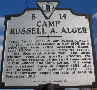
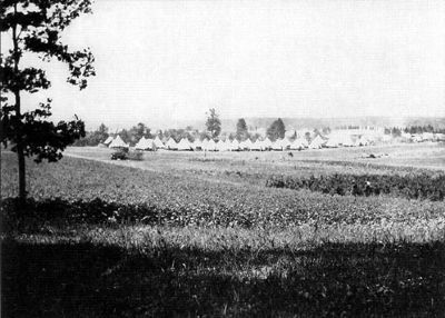
Camp Russell A. Alger
Erected 1998 by Department of Historic Resources. (Marker Number B-14.)
Topics and series. This historical marker is listed in this topic list: War, Spanish-American. In addition, it is included in the Virginia Department of Historic Resources (DHR) series list. A significant historical month for this entry is May 1898.
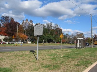
Location. 38° 51.954′ N, 77° 12.181′ W. Marker is near Falls Church, Virginia, in Fairfax County. Marker is on U.S. 50, on the right when traveling east. Touch for map. Marker is at or near this postal address: 7425 Arlington Blvd, Falls Church VA 22042, United States of America. Touch for directions.
Other nearby markers. At least 8 other markers are within 2 miles of this marker, measured as the crow flies. A Memorial to the Four Chaplains (approx. 0.7 miles away); We will never forget. (approx. ¾ mile away); Luther P. Jackson High School (approx. 1.4 miles away); The Pines (approx. 1.6 miles away); Tinner Hill Heritage Trail (approx. 1.6 miles away); James Lee Elementary School (approx. 1.6 miles away); Tinner Hill (approx. 1.6 miles away); a different marker also named Tinner Hill (approx. 1.6 miles away). Touch for a list and map of all markers in Falls Church.
Also see . . .
1. Report on the Camp's Water Supply. From the New York Times, June 8, 1898. (Submitted on December 13, 2007, by Craig Swain of Leesburg, Virginia.)
2. Camp Abandoned. New York Times article from August 15, 1898. (Submitted on December 13, 2007, by Craig Swain of Leesburg, Virginia.)
3. Senator Russell Alexander Alger. (Submitted on March 16, 2011, by Richard E. Miller of Oxon Hill, Maryland.)
Credits. This page was last revised on June 17, 2023. It was originally submitted on December 13, 2007, by Craig Swain of Leesburg, Virginia. This page has been viewed 4,400 times since then and 128 times this year. Photos: 1, 2. submitted on December 13, 2007, by Craig Swain of Leesburg, Virginia. 3. submitted on March 16, 2011, by Richard E. Miller of Oxon Hill, Maryland.


