McHenry in Garrett County, Maryland — The American Northeast (Mid-Atlantic)
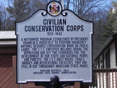
Civilian Conservation Corps
1933 - 1942
Erected by Maryland Historical Trust - Maryland State Highway Administration.
Topics and series. This historical marker is listed in this topic list: Charity & Public Work. In addition, it is included in the Civilian Conservation Corps (CCC), the Former U.S. Presidents: #32 Franklin D. Roosevelt, and the Maryland Historical Trust series lists.
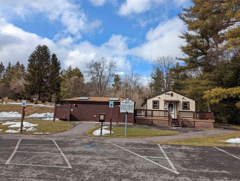
Location. 39° 29.957′ N, 79° 25.117′ W. Marker is in McHenry, Maryland, in Garrett County. Marker is on Maple Glade Road east of Tolliver Camp Road, on the right when traveling north. Marker is in the Swallow Falls parking lot. Touch for map. Marker is in this post office area: Oakland MD 21550, United States of America. Touch for directions.
Other nearby markers. At least 8 other markers are within 6 miles of this marker, measured as the crow flies. Swallow Falls vs. Hurricane Sandy (within shouting distance of this marker); Youghiogheny Grove (within shouting distance of this marker); Campsite (about 700 feet away, measured in a direct line); Forestry Beginning (approx. 3.4 miles away); Deep Creek Lake (approx. 4.7 miles away); Col. James McHenry of Baltimore (approx. 4.8 miles away); Fort Alice (approx. 5.3 miles away); The National Road (approx. 5.4 miles away). Touch for a list and map of all markers in McHenry.
Credits. This page was last revised on September 26, 2022. It was originally submitted on April 26, 2011, by Bill Pfingsten of Bel Air, Maryland. This page has been viewed 662 times since then and 31 times this year. Last updated on September 26, 2022, by Marc Tomik of Washington, District of Columbia. Photos: 1. submitted on April 26, 2011, by Bill Pfingsten of Bel Air, Maryland. 2. submitted on February 13, 2022, by Mike Wintermantel of Pittsburgh, Pennsylvania. • Devry Becker Jones was the editor who published this page.

