Duncan Chapel Community in Dorchester County, South Carolina — The American South (South Atlantic)
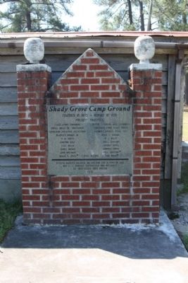
Shady Grove Camp Ground
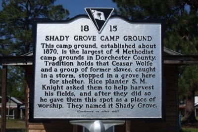
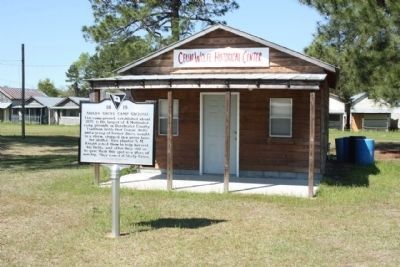
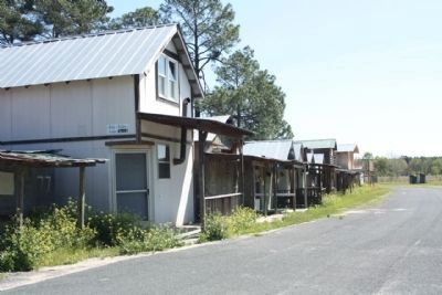
This camp ground, established about 1870, is the largest of 4 Methodist camp grounds in Dorchester County. Tradition holds that Ceasar Wolfe and a group of former slaves, caught in a storm, stopped in a grove here for shelter. Rice planter S.M. Knight asked them to help harvest his fields, and after they did so he gave them this spot as a place of worship. They named it Shady Grove.
(Reverse text)
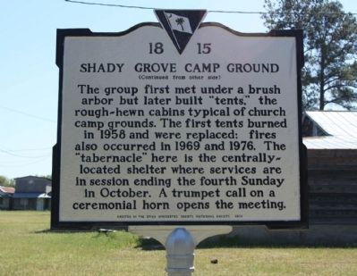
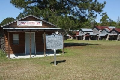
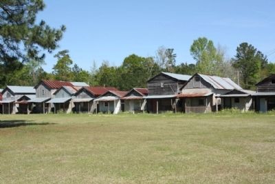
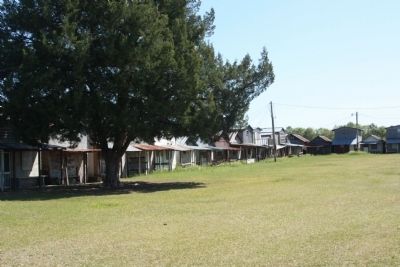
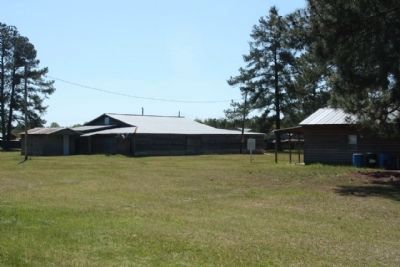
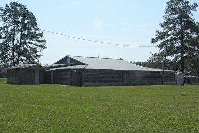
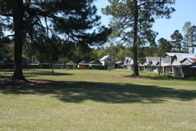
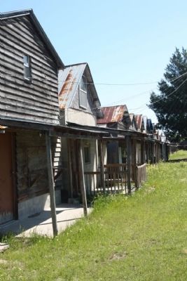
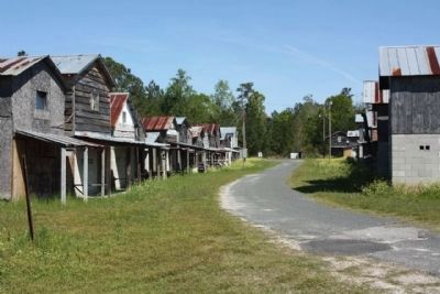
The group first met under a brush arbor but later built “tents,” the rough -hewn cabins typical of church camp grounds. The first tents burned in 1958 and were replaced; fires also occurred in 1969 and 1976. The “tabernacle” here is the centrally-located shelter where services are in session ending the fourth Sunday in October. A trumpet call on a ceremonial horn opens the meeting.
Erected 2010 by The Upper Dorchester County Historical Society. (Marker Number 18-15.)
Topics. This historical marker is listed in these topic lists: African Americans • Churches & Religion. A significant historical year for this entry is 1870.
Location. 33° 16.594′ N, 80° 35.769′ W. Marker is in Duncan Chapel Community, South Carolina, in Dorchester County. Marker can be reached from Camp Meeting Circle (State Highway 18-646). Located in the Center of the Camp Grounds Circle of Cabins, via State Road 18-16 to Camp Meeting Circle (State Road 18-646) 500 yards south of US 178. Touch for map. Marker is in this post office area: Bowman SC 29018, United States of America. Touch for directions.
Other nearby markers. At least 8 other markers are within 8 miles of this marker, measured as the crow flies. Moorefield Memorial Highway (approx. 0.9 miles away); Astronaut Frank L. Culbertson, Jr. (approx. 4.1 miles away); Badham House / Dorchester Lumber Company (approx. 5.7 miles away); St. George Public High School/St. George Graded School (approx. 6.2 miles away); Town of St. George (approx. 6.4 miles away); South Carolina Canal & Rail Road Company (approx. 6.6 miles away); Bowman Rosenwald School (approx. 7 miles away); Bowman S.C. (approx. 7.1 miles away).
Regarding Shady Grove Camp Ground. Shady Grove Campground (1870)
The Shady Grove, also known as “Black Paradise” to the first campers who worshipped there, has held its camp meeting the third week of October since 1870 with the exception of 1918 because of the influenza pandemic. (Univ.S.C. News Carolina camps featured in “This Far by Faith: Carolina Camp Meetings, an African American Tradition.”)
Credits. This page was last revised on June 16, 2016. It was originally submitted on May 11, 2011, by Mike Stroud of Bluffton, South Carolina. This page has been viewed 2,061 times since then and 84 times this year. Photos: 1, 2, 3, 4, 5, 6, 7, 8. submitted on May 11, 2011, by Mike Stroud of Bluffton, South Carolina. 9. submitted on September 8, 2013, by Mike Stroud of Bluffton, South Carolina. 10, 11, 12, 13. submitted on May 11, 2011, by Mike Stroud of Bluffton, South Carolina.
