Oyster Bay in Nassau County, New York — The American Northeast (Mid-Atlantic)
The British Occupation
Revolutionary War Heritage Trail
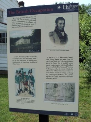
In 1775, the populace of Oyster Bay was divided, with only 20 percent supporting American independence. Among this small group of rebels was local merchant and politician Samuel Townsend, the owner of what is today Raynham Hall Museum.
In 1776, British troops had successfully expelled the rebel army from Long Island. For the next seven years, the British Army would control the island from Brooklyn to Orient Point.
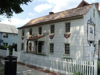
In the fall of 1778, Lieutenant-Colonel John Graves Simcoe and more than 400 members of the Queen’s Rangers regiment arrived in Oyster Bay to establish winter quarters, and to man an existing hilltop fort. Simcoe established the Townsends’ home as his headquarters for the winter, while junior officers and enlisted men were quartered other homes around the village, including the Earl Wightman House. The Queen’s Rangers left Oyster Bay exactly six months after their arrival.
Erected by State of New York.
Topics. This historical marker is listed in this topic list: War, US Revolutionary. A significant historical year for this entry is 1775.
Location. 40° 52.25′ N, 73° 31.824′ W. Marker is in Oyster Bay, New York, in Nassau County. Marker is on Summit Street, on the right when traveling east. Touch for map. Marker is at or near this postal address: 20 Summit Street, Oyster Bay NY 11771, United States of America. Touch for directions.
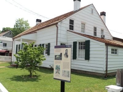
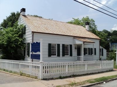
Other nearby markers. At least 8 other markers are within walking distance of this marker. Earle-Wightman House Museum (here, next to this marker); Matinecock Lodge (about 600 feet away, measured in a direct line); Fortified Hill (about 600 feet away); Raynham Hall (about 600 feet away); Raynham Hall Museum (about 700 feet away); The Culper Spy Ring (about 700 feet away); The great chain hoax . . . . (about 700 feet away); Fort Hill (about 700 feet away). Touch for a list and map of all markers in Oyster Bay.
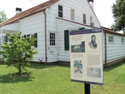
More about this marker. Four pictures appear on the marker. These include an image of Raynham Hall, a portrait of Lieutenant-Colonel John Graves Simcoe, a copy of Simcoe’s 1778 Map of Oyster Bay and a picture of The Queen’s Rangers. The later has a caption of “(1st American Regt 1776-1783) Military Uniforms in America: The Era of the American Revolution 1755-1793, The Company of Military History © 1974.”
Also see . . . The Earle-Wightman House and Garden. Oyster Bay Historical Society website. (Submitted on May 29, 2011, by Bill Coughlin of Woodland Park, New Jersey.)
Credits. This page was last revised on June 16, 2016. It was originally submitted on May 29, 2011, by Bill Coughlin of Woodland Park, New Jersey. This page has been viewed 977 times since then and 168 times this year. Photos: 1, 2, 3, 4, 5. submitted on May 29, 2011, by Bill Coughlin of Woodland Park, New Jersey.
