Kingston in Roane County, Tennessee — The American South (East South Central)
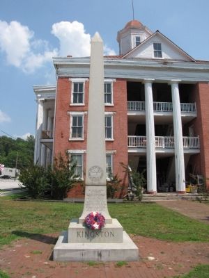
Kingston
Former State Capital
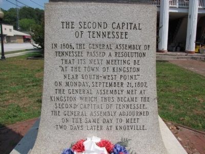
(west side)
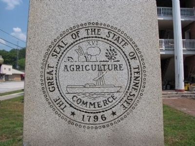
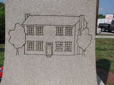
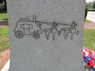
The Second Capital of Tennessee
In 1806, the General Assembly of Tennessee passed a resolution that its next meeting be “at the town of Kingston near South-West Point.” On Monday, September 21, 1807, the General Assembly met at Kingston which thus became the second capital of Tennessee. The General Assembly adjourned on the same day to meet two days later at Knoxville.
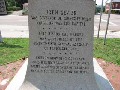
(east side)
John Sevier was Governor of Tennessee when Kingston was the capital
This historical marker was authorized by the Seventy-sixth General Assembly of Tennessee, 1949.
Gordon Browning, Governor
James H. Cummings, Secretary of State
Walter M. Haynes, Speaker of the Senate
McAllen Foutch, Speaker of the House
Topics. This historical marker is listed in these topic lists: Government & Politics • Settlements & Settlers. A significant historical date for this entry is September 21, 1812.
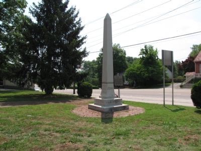
Location. 35° 52.326′ N, 84° 30.959′ W. Marker is in Kingston, Tennessee, in Roane County. Marker is at the intersection of North Kentucky Street (State Highway 58) and East Cumberland Street, on the left when traveling south on North Kentucky Street. Located near the front/west side of the old Roane County courthouse, now home of the County Archives. Touch for map. Marker is in this post office area: Kingston TN 37763, United States of America. Touch for directions.
Other nearby markers. At least 8 other markers are within one mile of this marker, measured as the crow flies. Roane County Revolutionary War Monument (here, next to this marker); For the Union (a few steps from this marker); Capitol for a Day (a few steps from this marker); Roane County War of 1812 Memorial (within shouting distance of this marker); Southwest Point (approx. 0.4 miles away); Cherokee Cabin (approx. one mile away); The Lewis and Clark Expedition (approx. one mile away); Site of Southwest Point (approx. one mile away). Touch for a list and map of all markers in Kingston.
Credits. This page was last revised on June 16, 2016. It was originally submitted on May 31, 2011, by Lee Hattabaugh of Capshaw, Alabama. This page has been viewed 592 times since then and 26 times this year. Photos: 1, 2, 3, 4, 5, 6, 7. submitted on May 31, 2011, by Lee Hattabaugh of Capshaw, Alabama. • Bernard Fisher was the editor who published this page.
