Mount Freedom in Morris County, New Jersey — The American Northeast (Mid-Atlantic)
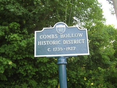
Combs Hollow Historic District
National Register of Historic Places
Topics. This historical marker is listed in this topic list: Settlements & Settlers. A significant historical year for this entry is 1735.
Location. 40° 49.098′ N, 74° 36.206′ W. Marker is in Mount Freedom, New Jersey, in Morris County. Marker is at the intersection of Combs Hollow Road and Doby Road, on the right when traveling south on Combs Hollow Road. Touch for map. Marker is in this post office area: Mendham NJ 07945, United States of America. Touch for directions.
Other nearby markers. At least 8 other markers are within 3 miles of this marker, measured as the crow flies. Bockoven Farm (approx. 2.2 miles away); Mendham Township War Memorial (approx. 2˝ miles away); Brookside Historic District (approx. 2˝ miles away); a different marker also named Mendham Township War Memorial (approx. 2.7 miles away); Black Horse Inn (approx. 2.9 miles away); The Phoenix House (approx. 3 miles away); Lebbeus Dod House (approx. 3 miles away); The Angel Tree (approx. 3.1 miles away).
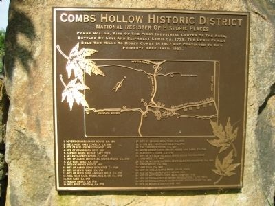
Regarding Combs Hollow Historic District. The marker displays a map & legend of 31 points of interest in the historic district.
Credits. This page was last revised on June 16, 2016. It was originally submitted on June 16, 2011, by Alan Edelson of Union Twsp., New Jersey. This page has been viewed 1,033 times since then and 24 times this year. Photos: 1, 2, 3. submitted on June 16, 2011, by Alan Edelson of Union Twsp., New Jersey. • Bernard Fisher was the editor who published this page.


