New Cumberland in Hancock County, West Virginia — The American South (Appalachia)
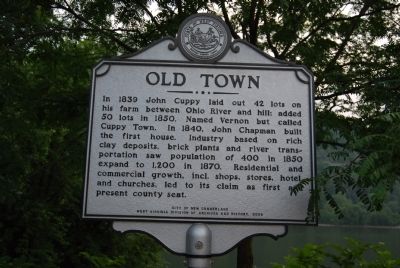
Old Town
Erected 2006 by City of New Cumberland and West Virginia Division of Archives and History.
Topics and series. This historical marker is listed in these topic lists: Government & Politics • Industry & Commerce • Settlements & Settlers. In addition, it is included in the West Virginia Archives and History series list. A significant historical year for this entry is 1839.
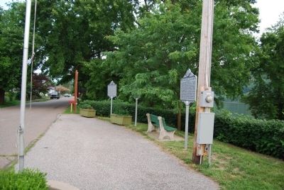
Location. 40° 29.922′ N, 80° 36.664′ W. Marker is in New Cumberland, West Virginia, in Hancock County. Marker is at the intersection of North River Avenue and Jefferson Street, on the right when traveling south on North River Avenue. Located in Overlook Park, River Drive, New Cumberland. Touch for map. Marker is in this post office area: New Cumberland WV 26047, United States of America. Touch for directions.
Other nearby markers. At least 8 other markers are within walking distance of this marker. Captain John Porter / Chelsea China Company (here, next to this marker); Contested County Seat (a few steps from this marker); Brickyard Bend (a few steps from this marker); Gravel Hill Academy (a few steps from this marker); New Cumberland (within shouting distance of this marker); Ohio River (within shouting distance of this marker); a different marker also named Old Town (approx. ¼ mile away); a different marker also named New Cumberland (approx. 0.6 miles away). Touch for a list and map of all markers in New Cumberland.
Credits. This page was last revised on June 16, 2016. It was originally submitted on July 4, 2011, by Mike Wintermantel of Pittsburgh, Pennsylvania. This page has been viewed 579 times since then and 28 times this year. Photos: 1, 2. submitted on July 4, 2011, by Mike Wintermantel of Pittsburgh, Pennsylvania.

