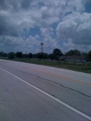
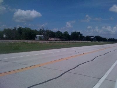
Kendleton in Fort Bend County, Texas — The American South (West South Central)
Kendleton
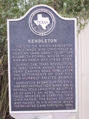
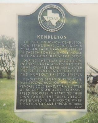
The site on which Kendleton now stands was originally a Mexican land grant to settler Elizabeth Powell, whose house was an early-day stage stop.
During the Texas Revolution, in 1836, Santa Anna's Mexican Army camped near here. Later the settlements of Oak Hill and Humbolt existed briefly.
Kendleton began during Civil War reconstruction when Wm. E. Kendall sold land, for as little as 50 cents an acre, to freed Negroes in starting their own farms. The rural village was named in his honor when the railroad came through, 1884.
Erected 1969 by State Historical Survey Committee. (Marker Number 9002.)
Topics. This historical marker is listed in these topic lists: African Americans • Settlements & Settlers. A significant historical year for this entry is 1836.
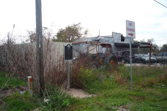
Location. 29° 26.852′ N, 96° 0.023′ W. Marker is in Kendleton, Texas, in Fort Bend County. Marker is on Loop State Highway 541 north of U.S. 59. Touch for map. Marker is in this post office area: Kendleton TX 77451, United States of America. Touch for directions.
Other nearby markers. At least 8 other markers are within 6 miles of this marker, measured as the crow flies. Terry v. Adams (about 400 feet away, measured in a direct line); a different marker also named Kendleton (about 500 feet away); Powell Point School (approx. 2˝ miles away); Site of Quinan Community (approx. 5.7 miles away); J. D. Hudgins Ranch (approx. 5.7 miles away); Site of Post West Bernard Station (approx. 5.7 miles away); New York, Texas & Mexican Railroad and The Community of Hungerford (approx. 5.7 miles away); Beasley (approx. 6.1 miles away). Touch for a list and map of all markers in Kendleton.
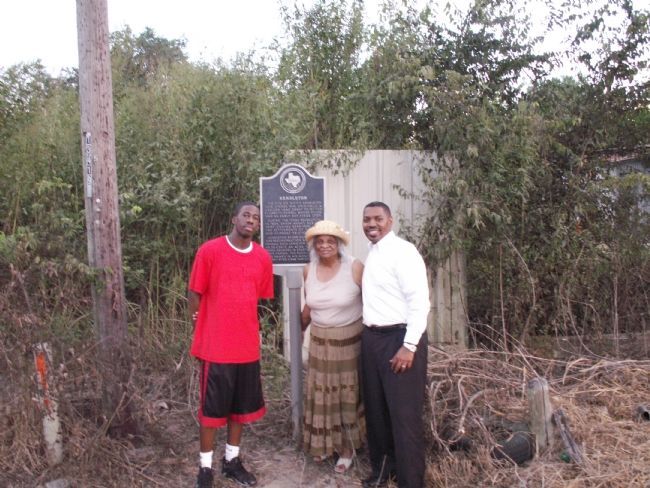
Photographed By Samuel Collins III, October 7, 2007
3. Eagle Scout Project
I had the opportunity to meet Jarren Small while visiting Marjorie Adams in Kendleton, Tx. Mrs. Adams is a local historian in Kendleton. Mrs. Adams shared with me that Jarren had taken on as his Eagle Scout project the task of cleaning up the THC markers in Kendleton. Jarren is in the red shirt, Mrs. Adams in the center and I am on the right. This is the second Eagle Scout project regarding preservation that I was fortunate to hear about. The other project was in Rosewood Cemetery in Galveston, Tx. It is wonderful to see our youth involved in preservation.
Credits. This page was last revised on November 10, 2020. It was originally submitted on December 30, 2007, by Richard E. Miller of Oxon Hill, Maryland. This page has been viewed 2,070 times since then and 38 times this year. Photos: 1. submitted on January 21, 2008, by Samuel Collins III of Hitchcock, Texas. 2. submitted on December 30, 2007, by Richard E. Miller of Oxon Hill, Maryland. 3. submitted on January 21, 2008, by Samuel Collins III of Hitchcock, Texas. 4. submitted on December 4, 2008, by Richard E. Miller of Oxon Hill, Maryland. 5, 6, 7. submitted on June 14, 2010, by Steve Gustafson of Lufkin, Texas. • J. J. Prats was the editor who published this page.
