Manti in Sanpete County, Utah — The American Mountains (Southwest)
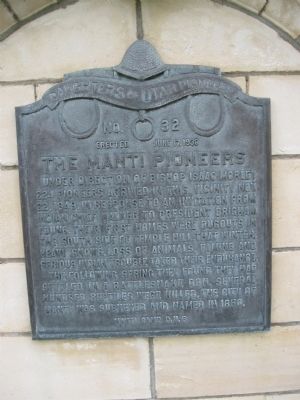
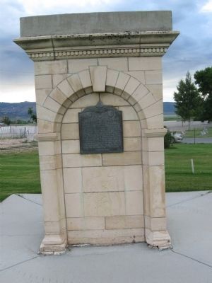
The Manti Pioneers
Under direction of Bishop Isaac Morley 224 pioneers arrived in this vicinity Nov. 22, 1849. In response to an invitation from Indian Chief Walker to President Brigham Young. Their first homes were dugouts in the south side of Temple Hill. That winter, heavy snows, loss of animals, famine and serious Indian trouble taxed their endurance.
The following spring they found they had settled in a rattlesnake den. Several hundred reptiles were killed. The City of Manti was surveyed and named in 1850.
Erected 1938 by Daughters of Utah Pioneers. (Marker Number 32.)
Topics and series. This historical marker is listed in these topic lists: Churches & Religion • Settlements & Settlers. In addition, it is included in the Daughters of Utah Pioneers series list. A significant historical date for this entry is October 22, 1849.
Location. 39° 16.445′ N, 111° 38.082′ W. Marker is in Manti, Utah, in Sanpete County. Marker is at the intersection of East 500 North Street (U.S. 89) and North 100 East Street, on the left when traveling north on East 500 North Street. Touch for map. Marker is in this post office area: Manti UT 84642, United States of America. Touch for directions.
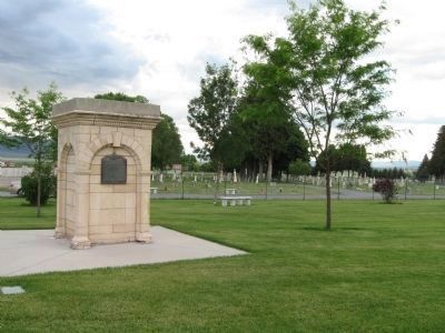
Other nearby markers. At least 8 other markers are within walking distance of this marker. Welcome to Historic Manti City Cemetery (here, next to this marker); New Home, New Neighbors (a few steps from this marker); A Unique Way to Conquer the West (a few steps from this marker); Pioneer Values: Cooperation (a few steps from this marker); Faith and Miracles (within shouting distance of this marker); A Temple in Zion (within shouting distance of this marker); History on a Headstone (within shouting distance of this marker); Pioneer Values: Education (within shouting distance of this marker). Touch for a list and map of all markers in Manti.
Credits. This page was last revised on June 16, 2016. It was originally submitted on July 10, 2011, by Jack Duffy of West Jordan, Utah. This page has been viewed 766 times since then and 106 times this year. Photos: 1, 2, 3. submitted on July 10, 2011, by Jack Duffy of West Jordan, Utah. • Bernard Fisher was the editor who published this page.


