Jackson in Amador County, California — The American West (Pacific Coastal)
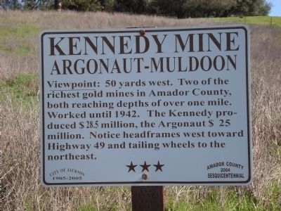
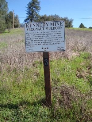
Kennedy Mine
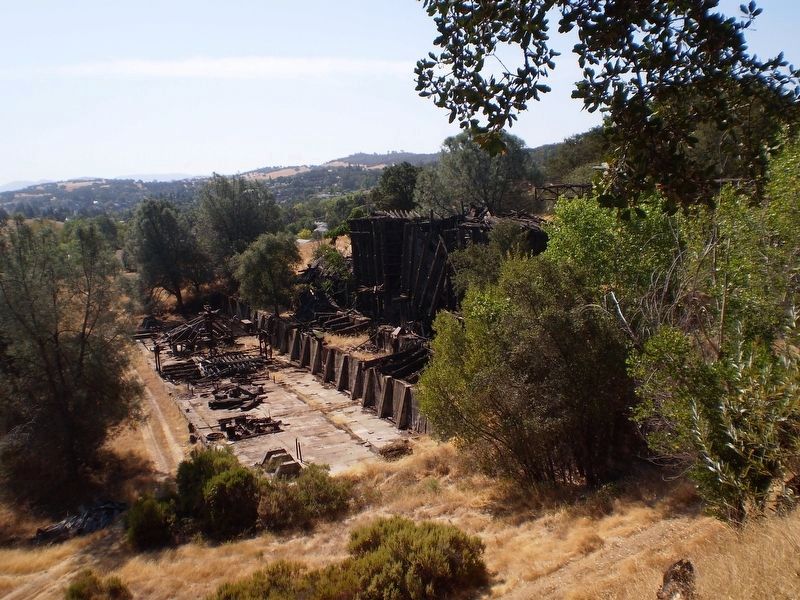
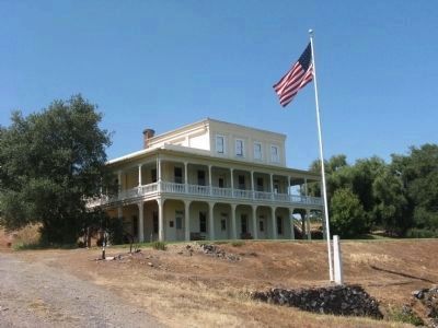
Argonaut-Muldoon
Erected 2004 by Amador County Sesquicentennial Commission. (Marker Number 3.)
Topics and series. This historical marker is listed in these topic lists: Industry & Commerce • Natural Resources. In addition, it is included in the California - Sutter Creek Gold Mine Trail series list. A significant historical year for this entry is 1942.
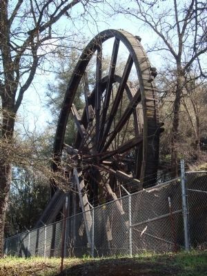
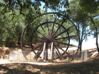
Location. 38° 21.809′ N, 120° 46.611′ W. Marker is in Jackson, California, in Amador County. Marker is on North Main Street, on the left when traveling north. Marker is located across from the Kennedy Tailing Wheels Park. Touch for map. Marker is at or near this postal address: 1105 North Main Street, Jackson CA 95642, United States of America. Touch for directions.
Other nearby markers. At least 8 other markers are within walking distance of this marker. Kennedy Mine Tailings Wheels (about 300 feet away, measured in a direct line); Massa (Tunnel) Adit (about 500 feet away); A. Chichizola Store (approx. ¼ mile away); Kennedy Mine Headframe (approx. 0.4 miles away); Kennedy Mining and Milling Company (approx. 0.4 miles away); Archimandrite Sebastian Dabovich (approx. half a mile away); St. Sava Serbian Orthodox Church (approx. half a mile away); Amador County Veterans' Memorial (approx. 0.6 miles away). Touch for a list and map of all markers in Jackson.
Regarding Kennedy Mine. The Kennedy Mine has also been designated as California Registered Historical Landmark No. 786.
Amador County’s Gold Mine Trail was established as part of the Amador County Sesquicentennial celebration in 2004. It is a 15 mile driving tour of some of the county’s 300+ gold mines. There are 18 official stops and numerous additional sites and markers along the trail.
From the Gold Mine Trail booklet: “After the placer gold rush of 1848-50, miners began to dig into the earth and rock to uncover gold imprisoned in quartz rocks’ deep veins. The largest vein was the Mother Lode between Yosemite (Oakhurst) and Georgetown in El Dorado County. The 20-mile stretch for the Mokelumne River to the Cosumnes river was the richest, producing some $160 million in gold between 1851 and 1842 (current value $5 billion).
The first hard rock mines were found in Amador County in 1851. The original Ministers’ claim and the Spring Hill were soon followed by many others: Lincoln, South Spring Hill, Keystone, Original Amador, and Eureka.
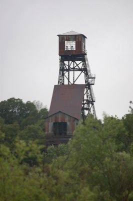
By the 1870s-80s Amador County was working 300+ mines. There were some tunnels, but later incline and vertical shafts reached down a mile into the ground. The Kennedy and Argonaut were close to 6,000’ deep. Headframes crowned shafts and stamp mills processed and crushed the ore. Some mines were worked by their founders but most were sold time and again and were improved or went bust. Large American and foreign companies traded in stock and ran the mines from afar.
Workers came from all over the world to look and work for gold. Most were from Europe: Italy, Yugoslavia, and Cornwall. Many stayed on the settle towns, marry and, raise families. Some mines vanished over the years; others still exist. Of the 300-400 mines, only eight headframes still stand, but may foundations, shafts and surface works remain.”
Also see . . . Kennedy Mine - Wikipedia. (Submitted on July 14, 2011, by Barry Swackhamer of Brentwood, California.)
Credits. This page was last revised on March 31, 2017. It was originally submitted on July 13, 2011, by Barry Swackhamer of Brentwood, California. This page has been viewed 923 times since then and 25 times this year. Photos: 1, 2, 3, 4. submitted on July 13, 2011, by Barry Swackhamer of Brentwood, California. 5. submitted on March 31, 2017, by Lester J Letson of Fresno, California. 6. submitted on June 9, 2009. 7. submitted on July 13, 2011, by Barry Swackhamer of Brentwood, California. 8. submitted on July 21, 2010. • Syd Whittle was the editor who published this page.
