Bethlehem, West Bank, Palestinian Territories — The Middle East (West Asia)
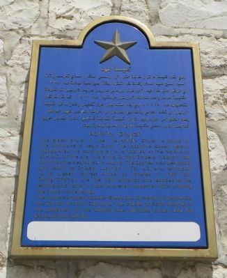
Nativity Church
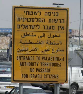
(Arabic inscription precedes English inscription)
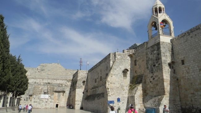
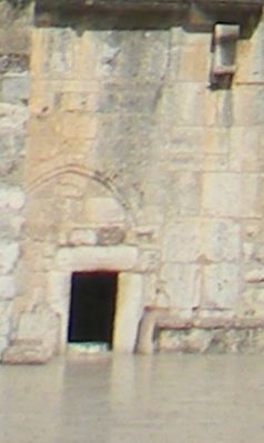
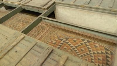
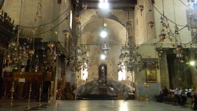
The oldest church in use, the Nativity Church is home to the birthplace of Jesus Christ. The Byzantine Queen Helena inaugurated the construction of a Basilica at the Nativity in 339 A.D. at the site where the Roman Emperor Hadrian had built a shrine dedicated to Adonis. The Basilica was destroyed and rebuilt by Emperor Justinian in 531 A.D. and reinforced to its present fortress shape by Tancrea in 1169 A.D. During Ottoman rule, the main entrance was reduced to the existing small door in order to prevent horsemen from entering the church while riding.
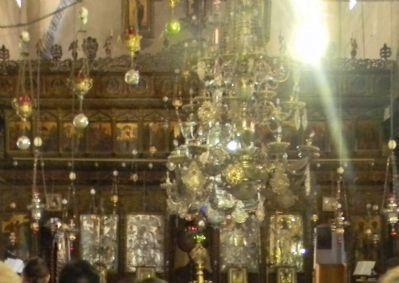
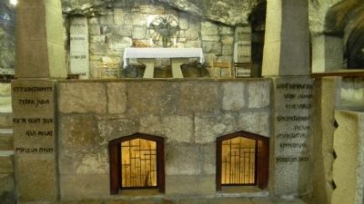
The whole complex includes Greek and Armenian monasteries, the Church of Saint Catherine, the cloister of Saint Jerome; in the basement of the Basilica are monastic caves, and the Grotto of the Nativity.
Topics. This historical marker is listed in these topic lists: Churches & Religion • Government & Politics • Notable Places.
Location. 31° 42.256′ N, 35° 12.44′ E. Marker is in Bethlehem, West Bank. Marker can be reached from Wad Ma'Ali Street south of Manger Road. Marker is in the courtyard, on the north wall of the church/basilica. It is accessible east of Manger Square and Wad Ma'Ali Street, between Manger Road on the north and Milk Grotto Street/Route 3686 on the south. Touch for map. Marker is at or near this postal address: Manger Square, Bethlehem, West Bank, Palestinian Territories. Touch for directions.
Other nearby markers. At least 8 other markers are within 8 kilometers of this marker, measured as the crow flies. The ancient aqueducts to Jerusalem (approx. 4.7 kilometers away in Israel); Arnona Neighborhood (approx. 5 kilometers away in Israel); Ben Yehuda House (approx. 5.6 kilometers away in Israel); The Lion's Trail - Gush Etzion (approx. 6.4 kilometers away in Israel); Departure and Expulsion Memorial (approx. 6.6 kilometers away in Israel); The Temple Society People's House (approx. 7.2 kilometers away in Israel); Cave 24 (approx. 7.4 kilometers away in Israel); Ketef Hinnom (approx. 7.4 kilometers away in Israel).
Also see . . .
1. Church of the Nativity. (Submitted on July 17, 2011, by Richard E. Miller of Oxon Hill, Maryland.)
2. Bethlehem Municipality. (Submitted on July 17, 2011, by Richard E. Miller of Oxon Hill, Maryland.)
Additional keywords. Roman Catholic; Greek Orthodox; Armenian Apostolic; Basilica; Manger Square; Pilgrims
Photographed By Richard E. Miller, May 25, 2011
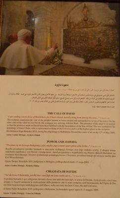
8. "The Call of David": plaque commemorating Pope Benedict XVI's pilgrimage to the Manger Chapel
in 2009 and his blessing of the relief sculpture by Czeslaw Dzwigaj illustrating the fulfillment of promises made to King David in the incarnation of the Son of God.
Credits. This page was last revised on February 10, 2024. It was originally submitted on July 16, 2011, by Richard E. Miller of Oxon Hill, Maryland. This page has been viewed 4,797 times since then and 19 times this year. Photos: 1, 2. submitted on July 16, 2011, by Richard E. Miller of Oxon Hill, Maryland. 3, 4, 5, 6, 7, 8, 9. submitted on July 17, 2011, by Richard E. Miller of Oxon Hill, Maryland. • Bill Pfingsten was the editor who published this page.
