Near Bessemer in Gogebic County, Michigan — The American Midwest (Great Lakes)
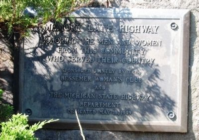
Memory Lane Highway
Erected 1949.
Topics. This historical marker is listed in this topic list: Military. A significant historical date for this entry is May 30, 1800.
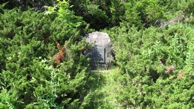
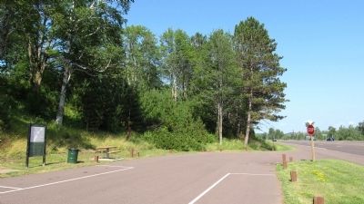
Location. 46° 28.839′ N, 90° 1.572′ W. Marker is near Bessemer, Michigan, in Gogebic County. Marker is on U.S. 2, on the right when traveling west. Touch for map. Marker is in this post office area: Bessemer MI 49911, United States of America. Touch for directions.
Other nearby markers. At least 8 other markers are within 7 miles of this marker, measured as the crow flies. Gogebic Iron Range (a few steps from this marker); Newport Hill (approx. 5.1 miles away); Pabst Mine "H" Shaft (approx. 5˝ miles away); The Truth Behind the Legend of Stormy Kromer (approx. 5.7 miles away); Curry House (approx. 6.6 miles away); Erwin Central School (approx. 6.6 miles away); Hiawatha (approx. 6.8 miles away); Commemorating the Iron Ore Industry (approx. 6.8 miles away).
Credits. This page was last revised on June 16, 2016. It was originally submitted on July 25, 2011, by Paul Fehrenbach of Germantown, Wisconsin. This page has been viewed 579 times since then and 12 times this year. Photos: 1, 2, 3. submitted on July 25, 2011, by Paul Fehrenbach of Germantown, Wisconsin. • Bill Pfingsten was the editor who published this page.


