Old Town in Albuquerque in Bernalillo County, New Mexico — The American Mountains (Southwest)
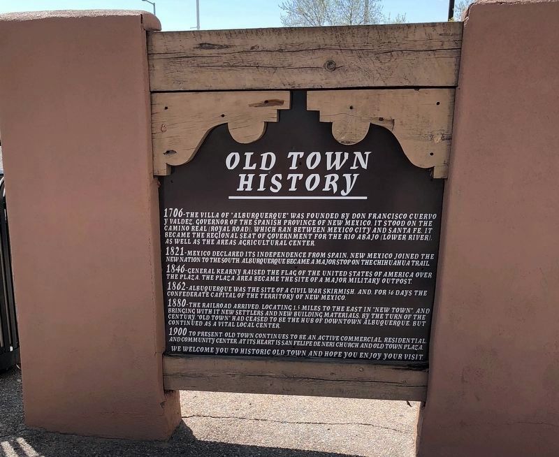
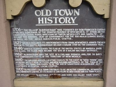
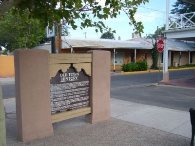
Old Town History
1821-Mexico declared its independence from Spain, New Mexico joined the new nation to the South, Alburquerque became a major stop on the Chihuahua Trail.
1846-General Kearny raised the flag of the United States of America over the Plaza. The Plaza area became the site of a major military outpost.
1862-Albuquerque was the site of a Civil War skirmish, and, for 36 days the Confederate capital of the Territory of New Mexico.
1880-The railroad arrived, locating 1.5 miles to the east in "New Town", and bringing with it new settlers and new building materials. By the turn of the century, "Old Town" had ceased to be the hub of downtown Albuquerque, but continued as a vital local center.
1900 to present-Old Town continues to be an active commercial, residential, and community center. At its heart is San Felipe de Neri Church and Old Town Plaza.
We welcome you to Historic Old Town and hope you enjoy your visit.
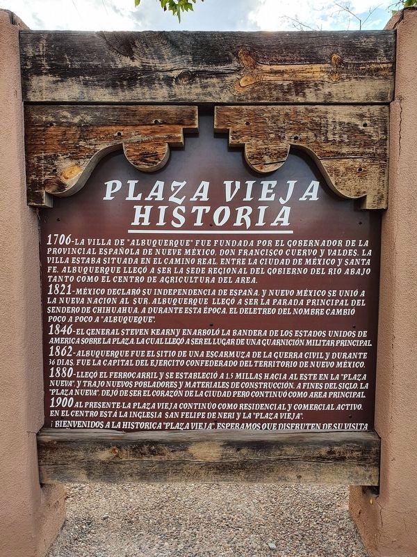
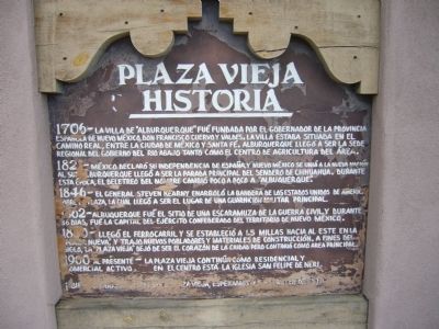
Plaza Vieja Historia
1706-La Villa de “Alburquerque” fué fundada por el Gobernador de la Provincia Española de Nueva México, Don Francisco Cuervo y Valdes. La Villa estaba situada en el Camino Real, entre La Ciudad de México y Santa Fé. Alburquerque llegó a ser la sede regional del gobierno del Rio Abajo Tanto como el centro de agricultura del area.
1821-México declare su independencia de España, y Nuevo México se unió a la nuevo nación al sur. Alburquerque llegó a ser la parada principal del sendero de Chihuahua. Durante esta época, el deletreo del nombre cambió poco a poco a “Albuquerque”.
1846-El General Steven Kearny enarboló la bandera de Los Estados Unidos de América sobre la plaza, la que llegó a ser el lugar de una guarnicion militar principal.
1862-Albuquerque fué el sitio de una escaramuza de la Guerra Civil, y durante 36 dias, fué la capital del ejército Confederado del Territorio de Nuevo México.
1880-Llegó el ferrocarril y se estableció a 1.5 millas hacia al este en la "Plaza Nueva", y trajo nuevos pobladores y materiales de construcción. A fines del siglo, la "Plaza Vieja" dejó de ser el corazón de la ciudad pero continuó como area principal.
1900 al presente-La Plaza Vieja continúa como residencial y comercial activo. En el centro está la iglesia San Felipe de Neri.
¡Bienvenidos a la histórica Plaza Vieja, esperamos que disfruten esta visita!
Topics and series. This historical marker is listed in this topic list: Settlements & Settlers. In addition, it is included in the El Camino Real de Tierra Adentro series list. A significant historical year for this entry is 1706.
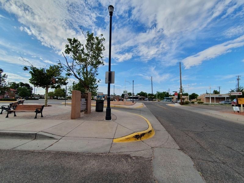
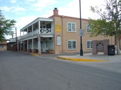
Location. 35° 5.717′ N, 106° 40.238′ W. Marker is in Albuquerque, New Mexico, in Bernalillo County. It is in Old Town. Marker is at the intersection of Romero Street NW and Old Town Road NW, on the left when traveling south on Romero Street NW. Touch for map. Marker is in this post office area: Albuquerque NM 87104, United States of America. Touch for directions.
Other nearby markers. At least 8 other markers are within walking distance of this marker. San Felipe de Alburquerque (about 300 feet away, measured in a direct line); Skirmish of Albuquerque (about 400 feet away); Confederate Soldiers (about 400 feet away); Founding of Albuquerque (about 400 feet away); Casa de Armijo (about 400 feet away); Mountain Howitzers (about 400 feet away); a different marker also named Casa de Armijo
(about 400 feet away); The Mother Church of Albuquerque (about 400 feet away). Touch for a list and map of all markers in Albuquerque.
Credits. This page was last revised on February 2, 2023. It was originally submitted on July 30, 2011, by Bill Kirchner of Tucson, Arizona. This page has been viewed 1,267 times since then and 24 times this year. Photos: 1. submitted on April 23, 2020, by Meg B of Chesapeake, Virginia. 2. submitted on July 30, 2011, by Bill Kirchner of Tucson, Arizona. 3. submitted on September 2, 2021, by J. Makali Bruton of Accra, Ghana. 4. submitted on July 30, 2011, by Bill Kirchner of Tucson, Arizona. 5. submitted on September 2, 2021, by J. Makali Bruton of Accra, Ghana. 6, 7. submitted on July 30, 2011, by Bill Kirchner of Tucson, Arizona. 8, 9. submitted on December 10, 2016, by Don Morfe of Baltimore, Maryland. • Bernard Fisher was the editor who published this page.
