Mount Pleasant in Isabella County, Michigan — The American Midwest (Great Lakes)
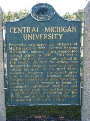
Central Michigan University
Privately organized by citizens of Mt. Pleasant in 1892, Central became Michigan's second state-supported normal school in 1895. This met a long-felt need for a state school in this region. At first the college was designed to prepare rural and grade school teachers. In the next three decades, however, the school grew into a four-year teachers college. Progress and growth since then have been even more notable in terms of standards, enrollment, facilities, and educational goals. Central had become a multi-purpose institution by the 1940's, and in 1959, by legislative act, it achieved university status.
Erected 1962 by Michigan Historical Commission. (Marker Number 113.)
Topics and series. This historical marker is listed in this topic list: Education. In addition, it is included in the Michigan Historical Commission series list. A significant historical year for this entry is 1892.
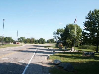
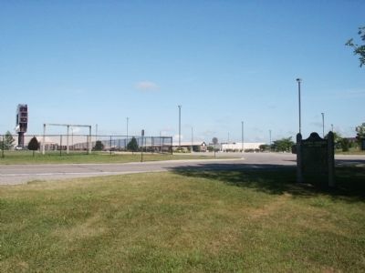
Location. 43° 34.714′ N, 84° 46.124′ W. Marker is in Mount Pleasant, Michigan, in Isabella County. Marker is on East Campus Drive, 0.3 miles south of East Broomfield Street, on the left when traveling south. The marker is in the Veterans Memorial Peace Grove. Touch for map. Marker is in this post office area: Mount Pleasant MI 48859, United States of America. Touch for directions.
Other nearby markers. At least 8 other markers are within 2 miles of this marker, measured as the crow flies. St. John's Episcopal Church (approx. 1˝ miles away); Peter E. Richmond / Peter and Anna Richmond House (approx. 1.6 miles away); Sacred Heart Academy (approx. 1.7 miles away); a different marker also named Central Michigan University (approx. 1.8 miles away); Isabella County Seat / The Founding of Mount Pleasant (approx. 1.9 miles away); Doughty House (approx. 1.9 miles away); Isabella County Courthouse and Jail (approx. 2 miles away); Isabella County Courthouse Postcards (approx. 2 miles away). Touch for a list and map of all markers in Mount Pleasant.
Also see . . . Central Michigan University. (Submitted on August 12, 2011, by Bernard Fisher of Richmond, Virginia.)
Credits. This page was last revised on April 26, 2022. It was originally submitted on August 9, 2011, by Joel Seewald of Madison Heights, Michigan. This page has been viewed 827 times since then and 17 times this year. Photos: 1, 2, 3. submitted on August 9, 2011, by Joel Seewald of Madison Heights, Michigan. • Bernard Fisher was the editor who published this page.


