Las Vegas in San Miguel County, New Mexico — The American Mountains (Southwest)
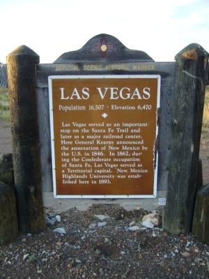
Las Vegas
Population 16,507 - Elevation 6,470
Las Vegas served as an important stop on the Santa Fe Trail and later as a major railroad center. Here General Kearny announced the annexation of New Mexico by the U.S. in 1846. In 1862, during the Confederate occupation of Santa Fe, Las Vegas served as a Territorial capital. New Mexico Highlands University was established here in 1893.
Erected by New Mexico Historic Preservation Division.
Topics and series. This historical marker is listed in these topic lists: Exploration • Settlements & Settlers • War, Mexican-American. In addition, it is included in the Daughters of the American Revolution, and the Santa Fe Trail series lists. A significant historical year for this entry is 1846.
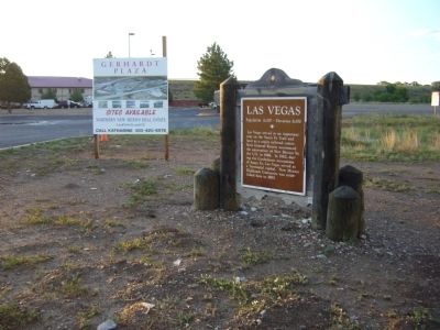
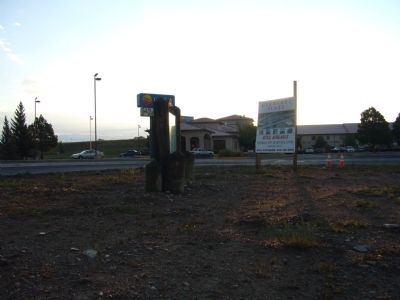
Location. 35° 37.298′ N, 105° 12.35′ W. Marker is in Las Vegas, New Mexico, in San Miguel County. Marker is at the intersection of North Grand Avenue (U.S. 85) and Legion Drive, on the right when traveling north on North Grand Avenue. Marker is at entrance to Comfort Inn. Touch for map. Marker is at or near this postal address: 2500 North Grand Avenue, Las Vegas NM 87701, United States of America. Touch for directions.
Other nearby markers. At least 8 other markers are within 2 miles of this marker, measured as the crow flies. Engine No. 1129 (approx. one mile away); Dr. Meta L. Christy (approx. 1.7 miles away); Fabiola Cabeza de Baca Gilbert (1895-1991) / New Mexico Historic Women Marker Initiative (approx. 1.7 miles away); Temple Montefiore, Las Vegas, New Mexico (approx. 1.9 miles away); City Hall (approx. 1.9 miles away); Meadows Hotel (approx. 1.9 miles away); Browne & Manzanares Commission House (approx. 1.9 miles away); YMCA Building (approx. 1.9 miles away). Touch for a list and map of all markers in Las Vegas.
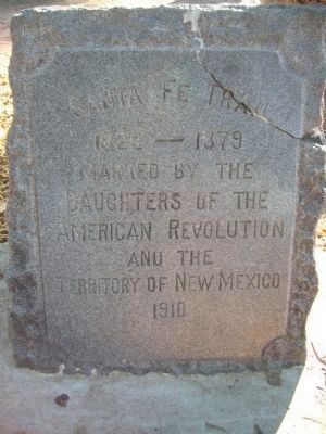
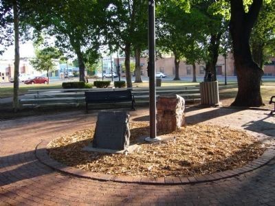
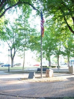
Regarding Las Vegas. In 1910 the Daughters of the American Revolution placed 18 markers in New Mexico along the Santa Fe Trail from Raton Pass, on the Colorado/New Mexico border, to the "End of the Trail" in the Santa Fe Plaza. One of these markers was placed in Las Vegas at the south side of Las Vegas Plaza Park (35° 35.563′ N, 105° 13.612′ W.) The park is located at 230 Plaza Park (State Route 65).
Credits. This page was last revised on June 16, 2016. It was originally submitted on August 9, 2011, by Bill Kirchner of Tucson, Arizona. This page has been viewed 831 times since then and 47 times this year. Photos: 1, 2, 3, 4. submitted on August 9, 2011, by Bill Kirchner of Tucson, Arizona. 5, 6, 7. submitted on August 8, 2011, by Bill Kirchner of Tucson, Arizona. • Bernard Fisher was the editor who published this page.
