Citrus Heights in Sacramento County, California — The American West (Pacific Coastal)
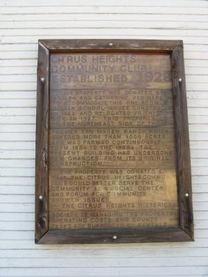
Citrus Heights Community Club
Established 1928
The property was donated so that The Citrus Heights Community Club could better serve the community as a social center and forum for community growth issues. The Citrus Heights Historical Society is managing the property operating costs and county taxes are supported by rentals.
Topics. This historical marker is listed in these topic lists: Fraternal or Sororal Organizations • Notable Buildings. A significant historical year for this entry is 1862.
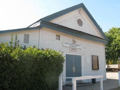
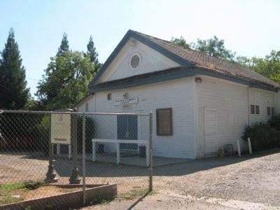
Location. 38° 41.479′ N, 121° 17.434′ W. Marker is in Citrus Heights, California, in Sacramento County. Marker can be reached from Sylvan Road, on the right when traveling south. The marker is mounted on the front of the schoolhouse to the right of the entrance door. Touch for map. Marker is at or near this postal address: 6903 Sylvan Road, Citrus Heights CA 95621, United States of America. Touch for directions.
Other nearby markers. At least 8 other markers are within 4 miles of this marker, measured as the crow flies. Sylvan School (here, next to this marker); Sylvan Cemetery (approx. 0.6 miles away); San Juan High School (approx. 0.9 miles away); The Rusch Home (approx. 1.3 miles away); Sept. 11, 2001 Memorial (approx. 2.3 miles away); Roseville - Placer County Vietnam Memorial (approx. 3.6 miles away); Roseville Junction Monument (approx. 3.6 miles away); Walerga Assembly Center (approx. 3.6 miles away). Touch for a list and map of all markers in Citrus Heights.
Credits. This page was last revised on October 5, 2020. It was originally submitted on August 30, 2011, by Syd Whittle of Mesa, Arizona. This page has been viewed 1,312 times since then and 19 times this year. Photos: 1. submitted on August 30, 2011, by Syd Whittle of Mesa, Arizona. 2, 3. submitted on August 27, 2011, by Syd Whittle of Mesa, Arizona.


