Richland in Stewart County, Georgia — The American South (South Atlantic)
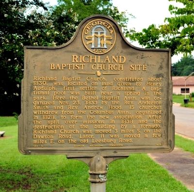
Richland Baptist Church Site
Erected 1956 by Georgia Historical Commission. (Marker Number 128-12.)
Topics and series. This historical marker is listed in these topic lists: Churches & Religion • Settlements & Settlers. In addition, it is included in the Georgia Historical Society series list. A significant historical date for this entry is October 23, 1911.
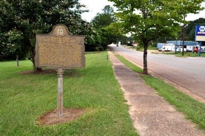
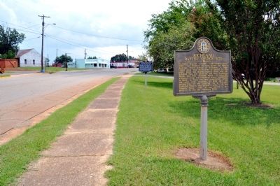
Location. 32° 5.481′ N, 84° 40.065′ W. Marker is in Richland, Georgia, in Stewart County. Marker is on Wall Street (Old U.S. 280) 0.1 miles north of Broad Street, on the left when traveling north. The marker is at the edge of the city park in Richland. Touch for map. Marker is in this post office area: Richland GA 31825, United States of America. Touch for directions.
Other nearby markers. At least 8 other markers are within 8 miles of this marker, measured as the crow flies. Historic Richland (a few steps from this marker); First Post Office Site (about 600 feet away, measured in a direct line); Cedarwood Cemetery (about 700 feet away); Providence Chapel (approx. 3.6 miles away); Jackson Trail (approx. 4.8 miles away); Methodist Camp Ground (approx. 5.1 miles away); Gen. Evans’ Birthplace (approx. 6.4 miles away); Westville Symposium / Academic Pioneers (approx. 7.7 miles away). Touch for a list and map of all markers in Richland.
Credits. This page was last revised on June 16, 2016. It was originally submitted on September 2, 2011, by David Seibert of Sandy Springs, Georgia. This page has been viewed 460 times since then and 17 times this year. Last updated on September 5, 2011, by David Seibert of Sandy Springs, Georgia. Photos: 1, 2, 3. submitted on September 2, 2011, by David Seibert of Sandy Springs, Georgia. • Bill Pfingsten was the editor who published this page.


