Governors Island in Manhattan in New York County, New York — The American Northeast (Mid-Atlantic)
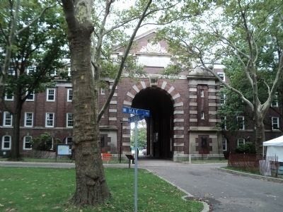
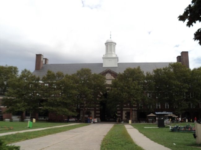
Liggett Hall
Governors Island
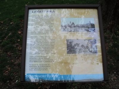
In 1902, Secretary of War Elihu Root asked the Prominent New York architectural firm of McKim, Meade & White to create a grand master plan for a new Army base on Governors Island. Part of Root’s vision was the expansion of the Island using excavated material from the construction of the Lexington Avenue Subway. This expansion more than doubled the size of the Island from 69 to 172 acres. Liggett Hall, completed in 1929, was the first structure constructed upon the land fill. For structural stability, the foundation of the massive 380,000 square foot building rests on steel piles driven down to the bedrock at the Island’s base.
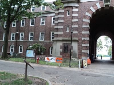
Built to replace the rough, temporary wood frame structures erected for World War I housing, Liggett Hall housed an entire regiment: More than 2,500 men. The 16th Infantry Regiment, called “New York’s Own,” occupied the building from 1930 through 1940. Subsequent Army and Coast Guard uses altered the interior to reflect the needs of the time. The large center section above the monumental archway was a massive drill hall, over 200 feet long, where soldiers practiced Army formations and maneuvers. It was primarily used as a gymnasium in later years.
Liggett Hall is among the largest Army barracks ever constructed. Its length is approximately 1,050 ft., almost as long as the Chrysler Building in midtown Manhattan is high.
The imposing structure was named for General Hunter Liggett whose positions included Chief of Staff for the American Army in France during World War I.
Topics. This historical marker is listed in this topic list: Military. A significant historical year for this entry is 1902.
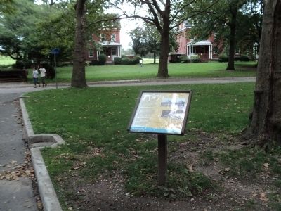
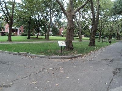
Location. 40° 41.387′ N, 74° 1.096′ W. Marker is in Manhattan, New York, in New York County. It is on Governors Island. Marker is at the intersection of Clayton Road and Hay Road, on the left when traveling east on Clayton Road. Marker is located on Governors Island. Touch for map. Marker is in this post office area: New York NY 10004, United States of America. Touch for directions.
Other nearby markers. At least 8 other markers are within walking distance of this marker. Slate Roofs on Colonels Row (a few steps from this marker); Clayton Road (within shouting distance of this marker); Purchase of Governors Island Monument (within shouting distance of this marker); Demolition on South Island (about 300 feet away, measured in a direct line); The Early Birds (about 400 feet away); Reagan-Gorbachev Meeting 1988 (about 400 feet away); Flight on Governors Island (about 400 feet away); Colonels’ Row (about 500 feet away). Touch for a list and map of all markers in Manhattan.
More about this marker. Two photographs appear on the right side of the marker. One depicts “Liggett Hall seen from the north in the 1930s, soon after its construction in 1929.” The other shows “The gymnasium under the center cupola of Liggett Hall as seen today.”
Also see . . . Governors Island National Monument. National Park Service website. (Submitted on September 12, 2011, by Bill Coughlin of Woodland Park, New Jersey.)
Credits. This page was last revised on January 31, 2023. It was originally submitted on September 12, 2011, by Bill Coughlin of Woodland Park, New Jersey. This page has been viewed 758 times since then and 79 times this year. Photos: 1, 2, 3, 4, 5, 6. submitted on September 12, 2011, by Bill Coughlin of Woodland Park, New Jersey. 7. submitted on April 5, 2020, by Larry Gertner of New York, New York.
