King William in King William County, Virginia — The American South (Mid-Atlantic)
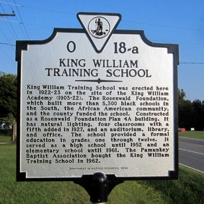
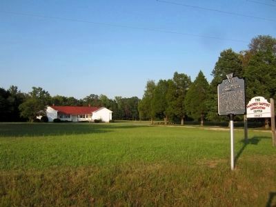
King William Training School
Erected 2009 by Department of Historic Resources. (Marker Number O 18-a.)
Topics and series. This historical marker is listed in these topic lists: African Americans • Education. In addition, it is included in the Rosenwald Schools, and the Virginia Department of Historic Resources (DHR) series lists. A significant historical year for this entry is 1927.
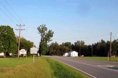
Location. 37° 41.683′ N, 77° 2.004′ W. Marker is in King William, Virginia, in King William County. Marker is on King William Road (Route 30) south of Walkerton Road (Virginia Route 629), on the left when traveling south. Touch for map. Marker is at or near this postal address: 18627 King William Road, King William VA 23086, United States of America. Touch for directions.
Other nearby markers. At least 8 other markers are within 2 miles of this marker, measured as the crow flies. Henry Jenner Jones (approx. 1.2 miles away); Henry Fox (approx. 1.2 miles away); King William County Colonial Court House (approx. 1.2 miles away); King William Courthouse (approx. 1.2 miles away); King William Confederate Monument (approx. 1.2 miles away); King William County Courthouse (approx. 1.2 miles away); a different marker also named King William Courthouse (approx. 1.2 miles away); Acquinton Church (approx. 1.7 miles away). Touch for a list and map of all markers in King William.
Also see . . . King William Training School. National Register of Historic Places (Submitted on September 14, 2011.)
Credits. This page was last revised on November 9, 2021. It was originally submitted on September 14, 2011, by Bernard Fisher of Richmond, Virginia. This page has been viewed 649 times since then and 43 times this year. Photos: 1, 2, 3. submitted on September 14, 2011, by Bernard Fisher of Richmond, Virginia.


