Lexington in Lexington County, South Carolina — The American South (South Atlantic)
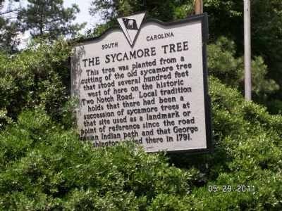
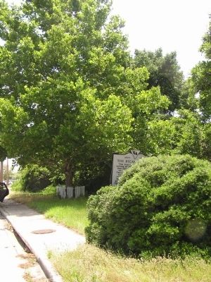
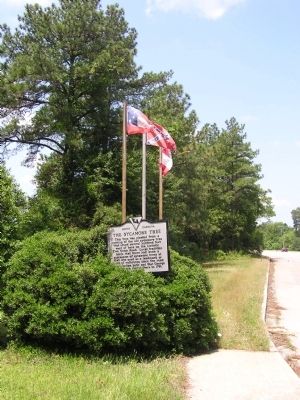
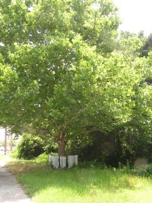
The Sycamore Tree
Erected 1973 by Lexington County Historical Society. (Marker Number 32-11.)
Topics. This historical marker is listed in this topic list: Landmarks. A significant historical year for this entry is 1791.
Location. 33° 58.502′ N, 81° 9.992′ W. Marker is in Lexington, South Carolina, in Lexington County. Marker is on U.S. 1 just west of Timbermill Road, on the left when traveling south. 4 miles east of Lexington, SC. There is a pull off/parking area for the marker. Touch for map. Marker is in this post office area: Lexington SC 29073, United States of America. Touch for directions.
Other nearby markers. At least 8 other markers are within 4 miles of this marker, measured as the crow flies. Tarrar Springs (approx. 2˝ miles away); Delingo School (approx. 2.8 miles away); Mt. Hebron United Methodist Church / Temperance Hall (approx. 2.9 miles away); Columbia Army Air Base / The Doolittle Raiders (approx. 2.9 miles away); 319th Bombardment Group (approx. 2.9 miles away); Bombardment Groups (approx. 2.9 miles away); 345th Bombardment Group (approx. 2.9 miles away); Zion Lutheran Church / Dreher's Fort (approx. 3.3 miles away). Touch for a list and map of all markers in Lexington.
Credits. This page was last revised on June 16, 2016. It was originally submitted on September 25, 2011, by Anna Inbody of Columbia, South Carolina. This page has been viewed 3,176 times since then and 134 times this year. Photos: 1, 2, 3, 4, 5, 6. submitted on September 25, 2011, by Anna Inbody of Columbia, South Carolina. • Bill Pfingsten was the editor who published this page.
