Near Whatley in Clarke County, Alabama — The American South (East South Central)
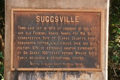
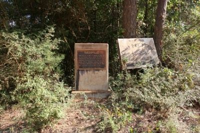
Suggsville
Erected by Clarke County Historical Society.
Topics. This historical marker is listed in this topic list: Settlements & Settlers. A significant historical year for this entry is 1819.
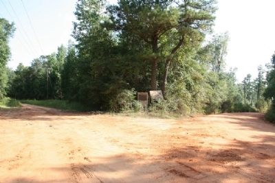
Location. 31° 35.184′ N, 87° 41.459′ W. Marker is near Whatley, Alabama, in Clarke County. Marker is on Morning Star Road (County Road 35) 4 miles south of U.S. 84, on the left when traveling south. Touch for map. Marker is in this post office area: Whatley AL 36482, United States of America. Touch for directions.
Other nearby markers. At least 8 other markers are within 7 miles of this marker, measured as the crow flies. Old Line Road (approx. 3.7 miles away); Whatley, Alabama (approx. 4.6 miles away); Fort Madison-Creek War 1812-13 (approx. 4.7 miles away); Reverend Timothy Horton Ball, A. M. (approx. 5 miles away); Kimbell - James Massacre (approx. 5 miles away); Fort Sinquefield (approx. 5.4 miles away); John Murphy (approx. 5.9 miles away); Old Indian Trail (approx. 6.4 miles away). Touch for a list and map of all markers in Whatley.
Also see . . . Suggsville, Alabama From Wikipedia, the free encyclopedia. (Submitted on October 2, 2011, by Timothy Carr of Birmingham, Alabama.)
Credits. This page was last revised on June 16, 2016. It was originally submitted on September 29, 2011, by Timothy Carr of Birmingham, Alabama. This page has been viewed 1,582 times since then and 105 times this year. Photos: 1. submitted on September 29, 2011, by Timothy Carr of Birmingham, Alabama. 2, 3. submitted on October 2, 2011, by Timothy Carr of Birmingham, Alabama. • Syd Whittle was the editor who published this page.


