
Madison in Morgan County, Georgia — The American South (South Atlantic)
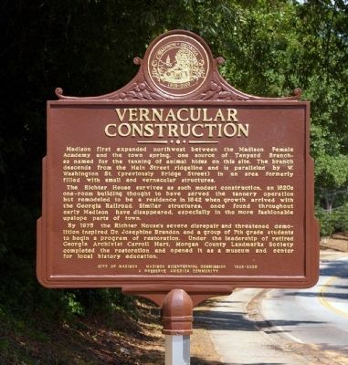
Vernacular Construction
Photographed by David Seibert, June 13, 2011
1. Vernacular Construction Marker
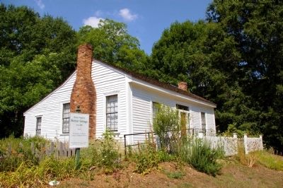
The Richter House survives as such modest construction, an 1820s one-room building thought to have served the tannery operations but remodeled to be a residence in 1842 when growth arrived with the Georgia Railroad. Similar structures, once found throughout early Madison have disappeared, especially in the more fashionable upslope parts of town.
By 1975 the Richter House’s severe disrepair and threatened demolition inspired Dr. Josephine Brandon and a group of 7th grade students to begin a program of restoration. Under the leadership of retired Georgia Archivist Carroll Hart, Morgan County Landmarks Society completed the restoration and opened it as a museum and center for local history education.
Erected 2011 by City of Madison, Madison BiCentennial Commission
this page online
Topics. This historical marker is listed in this topic list: Notable Buildings. A significant historical year for this entry is 1842.
Location. 33° 36′ N, 83° 28.383′ W. Marker is in Madison, Georgia, in Morgan County. It is on West Washington Street (Georgia Route 83) 0 miles north of 5th Street, on the left when traveling north. Touch for map. Marker is at or near this postal address: 490 West Washington Street, Madison GA 30650, United States of America. Touch for directions.

Regionally, this marker is in Georgia’s Antebellum Trail and in the Piedmont. It is also in the American South and specifically in the Deep South. Globally, it is in North America, the Western Hemisphere, the Western World, and the Anglosphere. Historically, it finds itself in what was once the territory of the Mississippian Culture, one of the original Thirteen Colonies, one of the Confederate States of America, and the Antebellum South.
Other nearby markers. At least 8 other markers are within walking distance of this marker: Welcome to the Richter Cottage (here, next to this marker); Confederate Dead (approx. 0.2 miles away);
Photographed by David Seibert, June 13, 2011
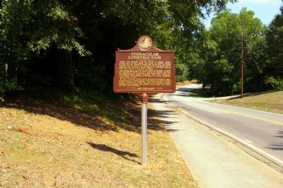
2. Vernacular Construction Marker
Photographed by David Seibert, June 13, 2011
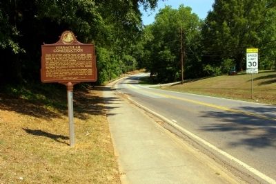
3. Vernacular Construction Marker
Looking north on West Washington Street (Georgia Highway 83) toward Bostwick.
Photographed by David Seibert, June 13, 2011
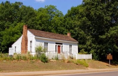
4. Vernacular Construction Marker
The marker and the Richter Cottage
Photographed by David Seibert, June 13, 2011
5. The Richter Cottage
Built c.1820 and remodeled in 1842 as a residence
Credits. This page was last revised on June 16, 2016. It was originally submitted on October 9, 2011, by David Seibert of Sandy Springs, Georgia. This page has been viewed 924 times since then and 21 times this year. Photos: 1, 2, 3, 4, 5. submitted on October 9, 2011, by David Seibert of Sandy Springs, Georgia. • Craig Swain was the editor who published this page.
