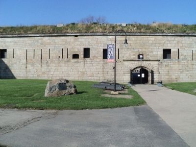
Newport in Newport County, Rhode Island — The American Northeast (New England)
A Giant Among Forts
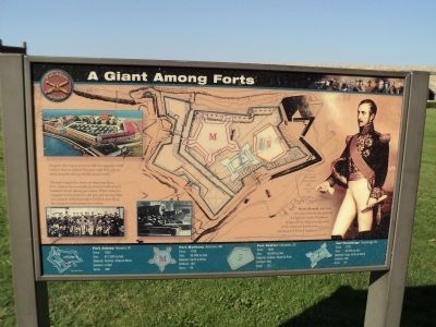
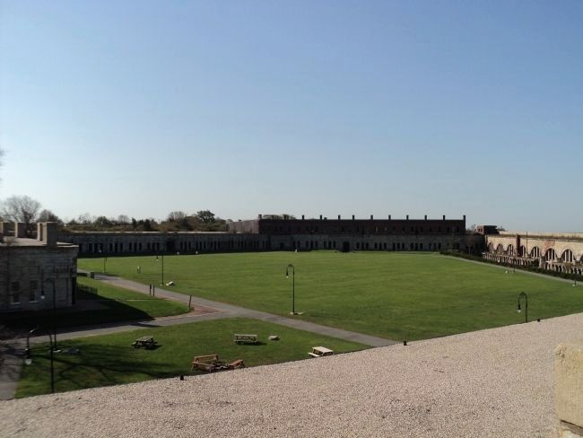
Imagine this twenty acre fort filled to capacity: 2,400 soldiers here to defend Newport with 468 cannon sited along the most probable attack routes.
Though designed to house an imposing force, Fort Adams was normally garrisoned with several hundred troops during peacetime. When America engaged in war, however, the fort and surrounding area teemed with thousands of soldiers patrolling the ramparts and training for combat.
Simon Bernard, who had served as a lieutenant general of engineers under Napoleon, designed Fort Adams using many of the advanced fortification techniques of French engineers.
[ Along Bottom of Marker :]
Circa: 1825
Size: 871,200 sq. feet
Material: Granite, Shale & Brick
Soldiers: 2,400
Guns: 468
Fort McHenry Baltimore, MD
Circa: 1796
Size: 85,000 sq. feet
Material: Earth & Brick
Soldiers: 1500
Guns: 60
Fort Sumter Charleston, SC
Circa: 1829
Size: 56,000 sq. feet
Material: Rubble, Stone & Brick
Soldiers: 650
Guns: 135
Fort Ticonderoga Ticonderoga, NY
Circa: 1755
Size: 44,200 sq. feet
Material: Logs, Earth & Stone
Soldiers: 400
Guns: 84
Erected by Fort Adams State Park.
Topics. This historical marker is listed in this topic list: Forts and Castles. A significant historical year for this entry is 1825.
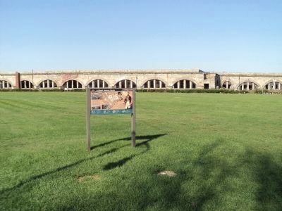
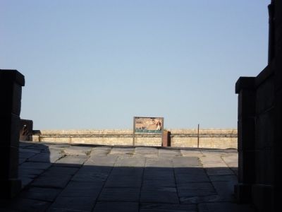
Location. 41° 28.722′ N, 71° 20.241′ W. Marker is in Newport, Rhode Island, in Newport County. Marker can be reached from Fort Adams Drive, on the left when traveling north. Marker is located inside Fort Adams. Touch for map. Marker is in this post office area: Newport RI 02840, United States of America. Touch for directions.
Other nearby markers. At least 8 other markers are within walking distance of this marker. Fort Adams Foundation (within shouting distance of this marker); Building a Fortress (within shouting distance of this marker); Erich A. O’D. Taylor (within shouting distance of this marker); Life in Fort Adams (within shouting distance of this marker); Understanding the Fort (within shouting distance of this marker); Fort Adams (about 300 feet away, measured in a direct line); Defending Narragansett Bay (about 300 feet away); Three Tiers of Firepower (about 300 feet away). Touch for a list and map of all markers in Newport.
More about this marker. The background of the marker contains an illustration of Fort Adams with an outline of Forts McHenry, Sumter and Ticonderoga in the parade ground. A picture of an active Fort Adams appears at the upper left of the marker, and Simon Bernard, architect of Fort Adams, appears on the right.
Two modern photographs are at the lower left of the marker: One shows soldiers stationed at Fort Adams and the other is of cannon in the casemates.
Credits. This page was last revised on November 2, 2020. It was originally submitted on October 10, 2011, by Bill Coughlin of Woodland Park, New Jersey. This page has been viewed 1,031 times since then and 36 times this year. Photos: 1, 2, 3, 4, 5. submitted on October 10, 2011, by Bill Coughlin of Woodland Park, New Jersey.
