Portsmouth in Newport County, Rhode Island — The American Northeast (New England)
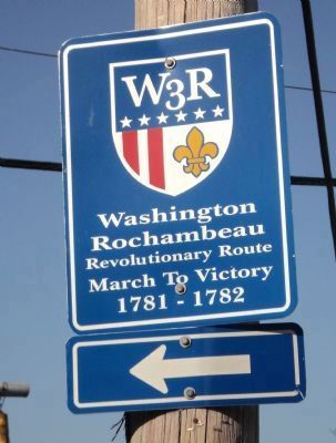
W 3 R
Rochambeau
Revolutionary Route
March To Victory
1781 – 1782
←
Topics. This historical marker is listed in this topic list: War, US Revolutionary. A significant historical year for this entry is 1781.
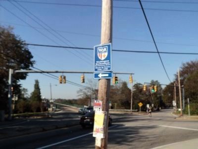
Location. 41° 37.936′ N, 71° 15.218′ W. Marker is in Portsmouth, Rhode Island, in Newport County. Marker is at the intersection of Bristol Ferry Road (Rhode Island Route 114) and Boyds Lane, on the right when traveling north on Bristol Ferry Road. Touch for map. Marker is in this post office area: Portsmouth RI 02871, United States of America. Touch for directions.
Other nearby markers. At least 8 other markers are within 2 miles of this marker, measured as the crow flies. Portsmouth Compact (approx. half a mile away); Mount Hope Bridge (approx. one mile away); An Artistic Bridge (approx. one mile away); Bridge Construction (approx. one mile away); Washington Crossed Here (approx. one mile away); Butts Hill Fort (approx. 1.2 miles away); Battle of Rhode Island 1778 (approx. 1½ miles away); Garden of New England (approx. 1½ miles away). Touch for a list and map of all markers in Portsmouth.

Photographed By Bill Coughlin, October 8, 2011
2. Washington & Rochambeau Marker
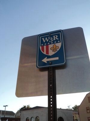
The Washington–Rochambeau Revolutionary Route indicated by the marker is a 680-mile long series of roads and encampments that were used by George Washington’s Continental Army and French troops under Jean-Baptiste de Rochambeau during their march from nearby Newport, Rhode Island to Yorktown, Virginia in 1781.
Credits. This page was last revised on November 2, 2020. It was originally submitted on October 30, 2011, by Bill Coughlin of Woodland Park, New Jersey. This page has been viewed 1,162 times since then and 25 times this year. Photos: 1, 2, 3. submitted on October 30, 2011, by Bill Coughlin of Woodland Park, New Jersey.

