Ellis Island in Manhattan in New York County, New York — The American Northeast (Mid-Atlantic)
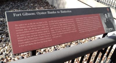
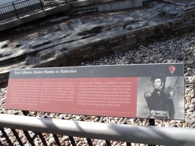
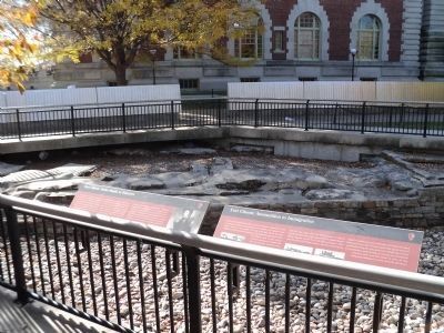
Fort Gibson: Oyster Banks to Batteries
The earliest fort on this site was built in 1794. Great Britainís navy had been seizing American merchant ships and forcing their sailors into service on British vessels. Congress decided that the nationís most important harbors should be defended in case war broke between Great Britain and the United States. Charles Vincent, a French engineer, was hired to construct defenses in New York Harbor. He chose tiny Oyster Island (as Ellis Island was then called), known only for its oyster banks, shad fishing and as the location for a battery of eight cannons. Tensions rose again between the two countries when a British frigate fired on the USS Chesapeake in 1807, leading President Thomas Jefferson to further improve the nationís defenses and rebuilt many of its early forts.
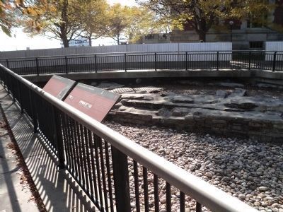
Colonel Jonathan Williams, a grandnephew of Benjamin Franklin, oversaw the construction of the brick and stone structure, the remains of which you see here. The new fort was completed only months before the outbreak of the War of 1812. During this war British prisoners were housed on Ellis Island, but the fort was never attacked. In 1814, the fort was named after Colonel James Gibson, a 33-year-old officer killed at the Battle of Lake Erie during the War of 1812.
Erected by National Park Service.
Topics and series. This historical marker is listed in these topic lists: Forts and Castles • War of 1812. In addition, it is included in the Former U.S. Presidents: #03 Thomas Jefferson series list. A significant historical year for this entry is 1794.
Location. 40° 41.942′ N, 74° 2.318′ W. Marker is in Manhattan, New York, in New York County. It is on Ellis Island. Marker is located on the north side of Ellis Island, near the American Immigrant Wall of Honor. Touch for map. Marker is in this post office area: New York NY 10004, United States of America. Touch for directions.
Other nearby markers. At least 8 other markers are within walking distance of this marker. Fort Gibson: Ammunition to Immigration (here, next to this marker); Fort Gibson: The Other Ellis Island Story (a few steps from this marker); Fort Gibson: Uncovering the Past (a few steps from this marker); The American Immigrant Wall of Honor ģ (a few steps from this marker); Fort Gibson: Defending the Approaches (a few steps from this marker); Fort Gibson: The New York Harbor System (a few steps from this marker); a different marker also named The American Immigrant Wall of Honor ģ (within shouting distance of this marker); Delaware Indian Burials (within shouting distance of this marker). Touch for a list and map of all markers in Manhattan.


