Round Top in Fayette County, Texas — The American South (West South Central)
Round Top Community
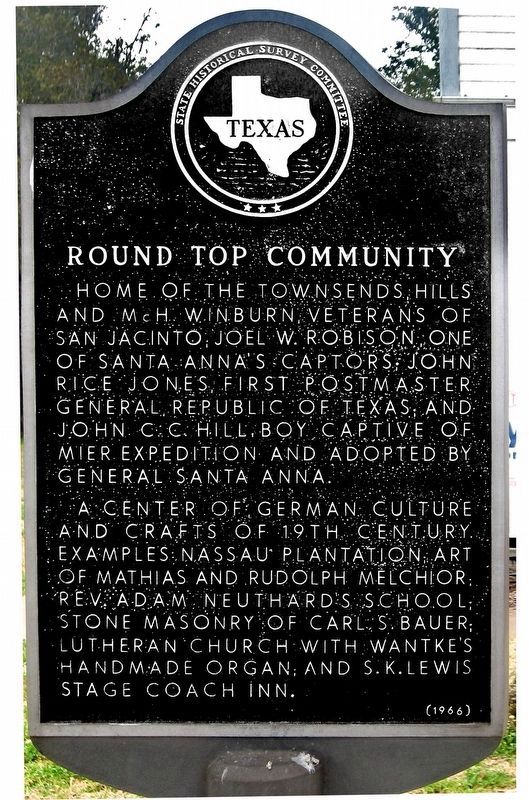
Home of the Townsends, Hills and McH. Winburn, veterans of San Jacinto; Joel W. Robison, one of Santa Anna's captors; John Rice Jones, first postmaster general, Republic of Texas; and John C.C. Hill, boy captive of Mier Expedition and adopted by General Santa Anna.
A center of German culture and crafts of 19th century. Examples: Nassau Plantation; art of Mathias and Rudolph Melchior; Rev. Adam Neuthard's School; Stone Masonry of Carl S. Bauer; Lutheran Church with Wantke's handmade organ; and S.K. Lewis' Stage Coach Inn.
Erected 1966 by State Historical Survey Committee. (Marker Number 4363.)
Topics. This historical marker is listed in these topic lists: Settlements & Settlers • War, Texas Independence.
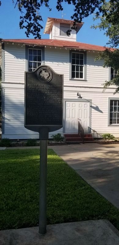
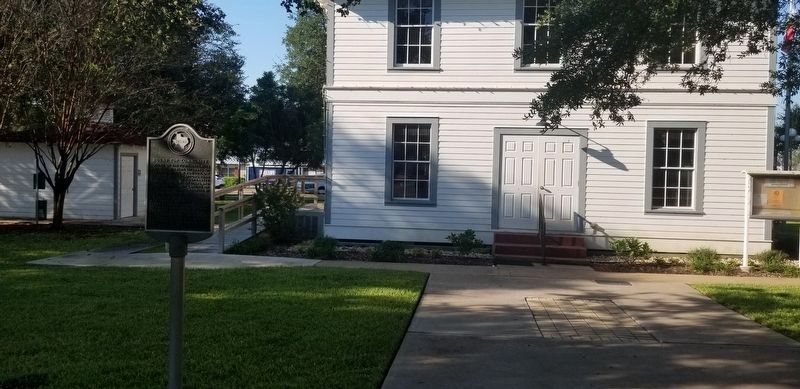
Location. 30° 3.912′ N, 96° 41.723′ W. Marker is in Round Top, Texas, in Fayette County. Marker is at the intersection of Main Street (State Highway 237) and Live Oak Street, on the right when traveling east on Main Street. Touch for map. Marker is at or near this postal address: 105 Main St, Round Top TX 78954, United States of America. Touch for directions.
Other nearby markers. At least 8 other markers are within walking distance of this marker. Round Top (here, next to this marker); Early Texas Hotels and Inns (within shouting distance of this marker); Bernard Scherrer (about 300 feet away, measured in a direct line); The Kraus House (about 800 feet away); Schueddemagen Home (about 800 feet away); Round Top Public School (approx. 0.2 miles away); The Connersville Museum (approx. 0.2 miles away); Noak Farmhouse (approx. 0.2 miles away). Touch for a list and map of all markers in Round Top.
Credits. This page was last revised on October 9, 2021. It was originally submitted on November 21, 2011, by Jim Evans of Houston, Texas. This page has been viewed 656 times since then and 13 times this year. Photos: 1. submitted on January 7, 2020, by Jim Evans of Houston, Texas. 2, 3. submitted on October 9, 2021, by James Hulse of Medina, Texas. • Bernard Fisher was the editor who published this page.


