Hammond in Tangipahoa Parish, Louisiana — The American South (West South Central)
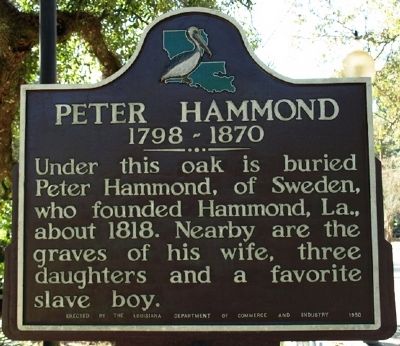
Peter Hammond
1798 - 1870
Erected 1980 by Louisiana Department of Commerce and Industry.
Topics. This historical marker is listed in this topic list: Settlements & Settlers. A significant historical year for this entry is 1818.
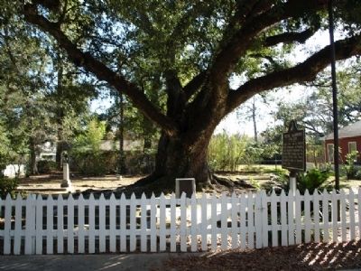
Location. 30° 30.369′ N, 90° 27.372′ W. Marker is in Hammond, Louisiana, in Tangipahoa Parish. Marker is on East Charles Street, on the right when traveling east. Touch for map. Marker is in this post office area: Hammond LA 70401, United States of America. Touch for directions.
Other nearby markers. At least 8 other markers are within 5 miles of this marker, measured as the crow flies. Mt. Vernon Walnut (approx. 0.4 miles away); City Of Hammond (approx. 0.4 miles away); Grace Memorial Episcopal Church (approx. 0.4 miles away); Hammond Junior College (approx. half a mile away); Friendship Circle (approx. 0.8 miles away); Site of 1st Classroom Bldg. (approx. 0.8 miles away); The Republic of West Florida (approx. 3.2 miles away); Ponchatoula Depot (approx. 4.7 miles away). Touch for a list and map of all markers in Hammond.
Credits. This page was last revised on June 16, 2016. It was originally submitted on November 22, 2011, by Jeff Lovorn of Florence, Mississippi. This page has been viewed 1,060 times since then and 60 times this year. Photos: 1, 2. submitted on November 22, 2011, by Jeff Lovorn of Florence, Mississippi. • Craig Swain was the editor who published this page.

