Calexico in Imperial County, California — The American West (Pacific Coastal)
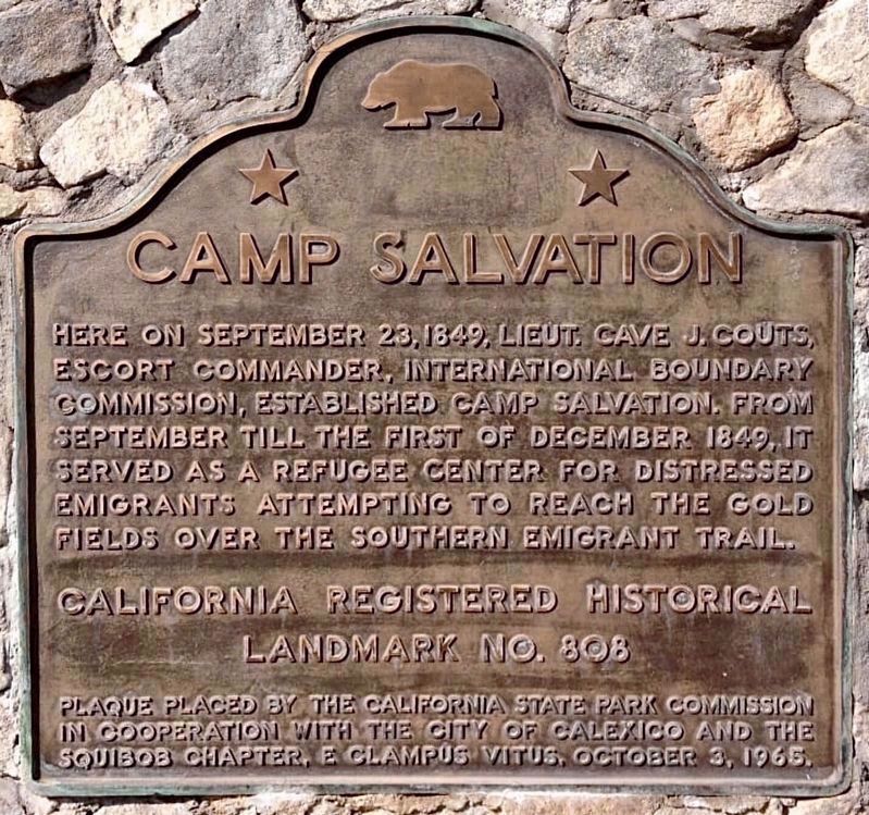
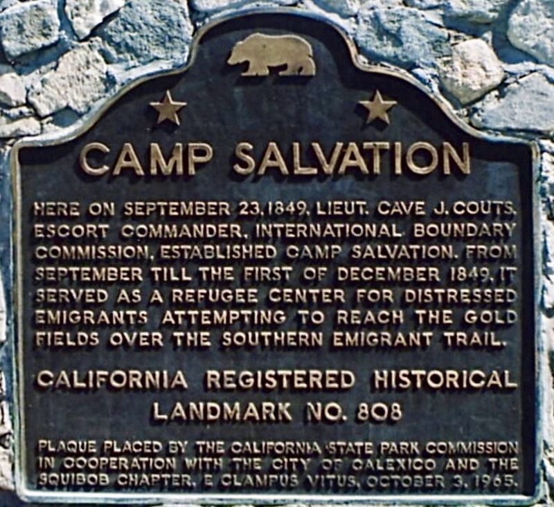
Camp Salvation
Erected 1965 by California State Park Commission in cooperation with the City of Calexico and the John P. Squibob Chapter No. 1853, E Clampus Vitus. (Marker Number 808.)
Topics and series. This historical marker is listed in these topic lists: Exploration • Forts and Castles • Settlements & Settlers. In addition, it is included in the California Historical Landmarks, and the E Clampus Vitus series lists. A significant historical month for this entry is September 1849.
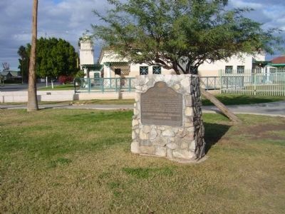
Location. 32° 40.201′ N, 115° 29.595′ W. Marker is in Calexico, California, in Imperial County. Marker is at the intersection of East 5th Street and Heber Avenue, on the right when traveling west on East 5th Street. Marker is located south of Rockwood Plaza. Touch for map. Marker is at or near this postal address: 400 Block of East 5th Street, Calexico CA 92231, United States of America. Touch for directions.
Other nearby markers. At least 8 other markers are within 10 miles of this marker, measured as the crow flies. Calexico Carnegie Library (within shouting distance of this marker); Hotel De Anza (approx. 0.2 miles away); United States Inspection Station (approx. 0.3 miles away); First Irrigation Water Into Imperial Valley (approx. 3.4 miles away); Camacho's Place and Café (approx. 7.4 miles away); Women's 10,000 Club (approx. 9.2 miles away); Imperial Valley Press (approx. 9½ miles away); Site of Rancho El Tecolote (approx. 9.9 miles away). Touch for a list and map of all markers in Calexico.
Credits. This page was last revised on January 20, 2024. It was originally submitted on December 17, 2011, by Michael Kindig of Elk Grove, California. This page has been viewed 816 times since then and 36 times this year. Photos: 1, 2. submitted on January 19, 2024. 3. submitted on December 17, 2011, by Michael Kindig of Elk Grove, California. 4. submitted on December 21, 2012, by Bill Kirchner of Tucson, Arizona. • Syd Whittle was the editor who published this page.


