Cape Charles in Northampton County, Virginia — The American South (Mid-Atlantic)
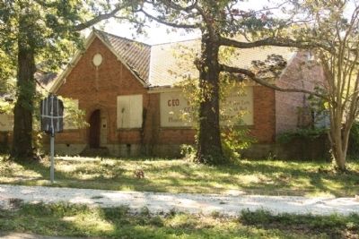
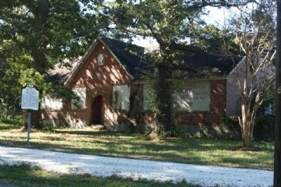
Cape Charles Colored School
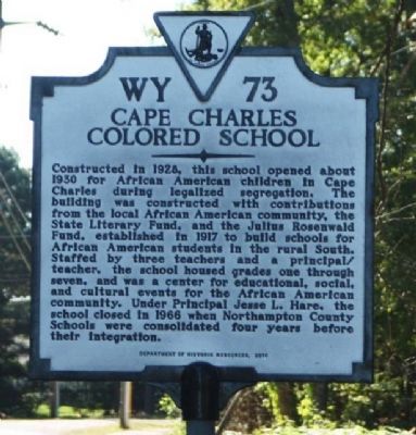
Photographed by Mike Stroud, October 13, 2012
1. Cape Charles Colored School Marker
Erected 2010 by Department of Historic Resources. (Marker Number WY-73.)
Topics and series. This historical marker is listed in these topic lists: African Americans • Education. In addition, it is included in the Rosenwald Schools, and the Virginia Department of Historic Resources (DHR) series lists. A significant historical year for this entry is 1928.
Location. 37° 15.803′ N, 76° 0.557′ W. Marker is in Cape Charles, Virginia,
this page online

Regionally, this marker is on the Eastern Shore. It is also in the American South, specifically in the Upper South, on the Delmarva Peninsula, in the Tidewater, and on the Eastern Seaboard. Globally, it is in the North Atlantic Region, North America, the Western Hemisphere, the Western World, and the Anglosphere. Historically, it finds itself in what was once the territory of the Mississippian Culture, one of the original Thirteen Colonies, one of the Confederate States of America, and the Antebellum South.
Other nearby markers. At least 8 other markers are within walking distance of this marker: The Caboose (approx. 0.3 miles away); RF&P Baggage Car (approx. 0.3 miles away); BCR 2000 Locomotive (approx. 0.3 miles away); Jerry Lewis (approx. 0.3 miles away); Tank Car (approx. 0.3 miles away); Pilot House (approx. 0.3 miles away); Box Car (approx. 0.3 miles
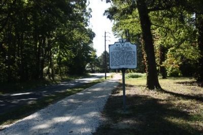
Photographed by Mike Stroud, October 13, 2012
2. Cape Charles Colored School Marker, looking east on Old Cape Charles Road
Also see . . . Ceremony to dedicate an historic marker , UTube. on the site of the Rosenwald elementary school for African American children in Cape Charles Virginia, (Submitted on December 28, 2011, by Mike Stroud of Bluffton, South Carolina.)
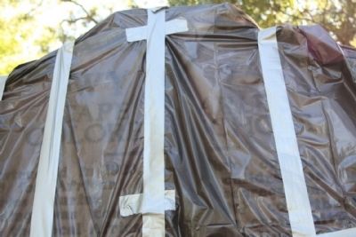
Photographed by Mike Stroud, October 15, 2011
3. Cape Charles Colored School Marker, pre dedication...to be on Sat, Nov 19, 2011
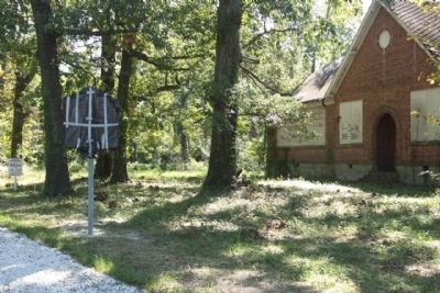
Photographed by Mike Stroud, October 15, 2011
4. Cape Charles Colored School Marker, along Old Cape Charles Road ( CR 641)
Photographed by Mike Stroud, October 15, 2011
5. Cape Charles Colored School and Marker
Photographed by Mike Stroud, October 13, 2012
6. Cape Charles Colored School and Marker
Credits. This page was last revised on June 7, 2026. It was originally submitted on December 28, 2011, by Mike Stroud of Bluffton, South Carolina. This page has been viewed 2,450 times since then and 113 times this year. Photos: 1, 2. submitted on October 22, 2012, by Mike Stroud of Bluffton, South Carolina. 3, 4, 5. submitted on December 28, 2011, by Mike Stroud of Bluffton, South Carolina. 6. submitted on October 22, 2012, by Mike Stroud of Bluffton, South Carolina.
