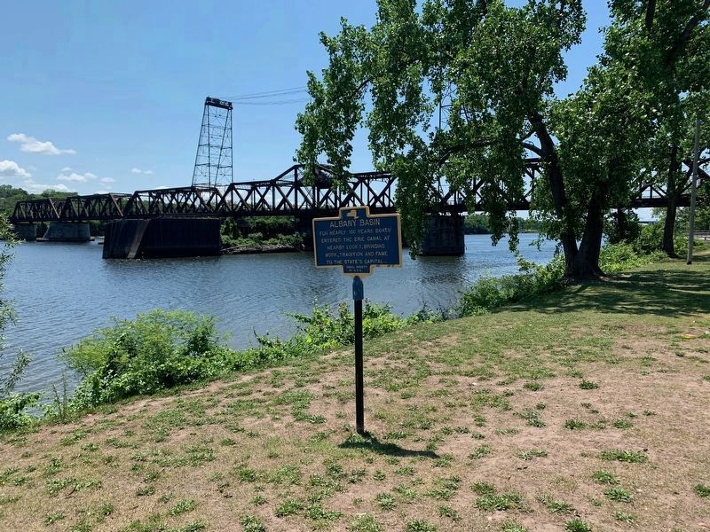
Albany in Albany County, New York — The American Northeast (Mid-Atlantic)
The Erie Canal / Albany Basin
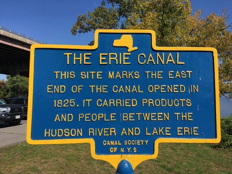
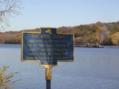
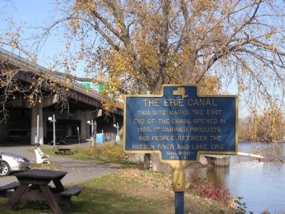
The Erie Canal. This site marks the east end of the canal, opened in 1825. It carried products and people between the Hudson River and Lake Erie
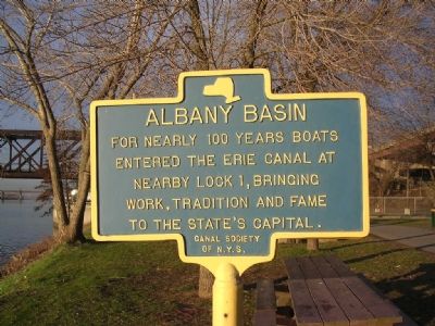
Albany Basin. For nearly 100 years boats entered the Erie Canal at nearby Lock 1, bringing work, tradition and fame to the State’s capital.
Erected by The Canal Society of New York State.
Topics and series. This historical marker is listed in this topic list: Notable Places. In addition, it is included in the Erie Canal series list. A significant historical year for this entry is 1825.
Location. 42° 39.347′ N, 73° 44.57′ W. Marker is in Albany, New York, in Albany County. Marker located in a grassy area between a parking lot and the Hudson River in the Erastus Corning River Front Park a.k.a. The Corning Preserve just north of the Livingston Ave. (Railroad) Bridge. Touch for map. Marker is in this post office area: Albany NY 12207, United States of America. Touch for directions.
Other nearby markers. At least 8 other markers are within walking distance of this marker. Erie Canal (approx. 0.2 miles away); Albany Pump Station (approx. ¼ mile away); Lincoln Mourned (approx. 0.3 miles away); Boardman & Gray Piano Factory (approx. 0.4 miles away); Lil's Diner (approx. 0.4 miles away); Patroon Street (approx. 0.4 miles away); Clinton Square (approx. 0.4 miles away); Herman Melville (approx. 0.4 miles away). Touch for a list and map of all markers in Albany.
More about this marker. What makes this marker quite unique is that it has two different messages, one on each side of the sign. In New York these signs typically have the same text on both sides.
Additional keywords. Erie Canal Albany Basin Lock 1
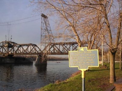
Photographed By Howard C. Ohlhous, April 11, 2005
5. The Erie Canal - Albany Basin
The view is to the south, with the Hudson River on the left and the Livingston Ave railroad bridge, a swing bridge, in the background. In late October of 2002 two Union college professors were able to locate and uncover portions of Lock 1, despite earlier reports that had claimed that all remains of the Erie Canal in this vicinity had been obliterated.
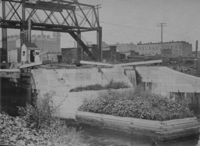
Gayer Collection, circa 1900
7. Erie Canal Lock 1 - Albany, New York
Historic Photo of Lock 1 courtesy of the Canal Society of New York State’s Gayer Collection. This is the lock that let boats down to the level of the Hudson River. The overhead metal framework in the photo was for the Water Street Lift bridge.
Canal Society of New York State website homepage
Click for more information.
Canal Society of New York State website homepage
Click for more information.
Credits. This page was last revised on October 7, 2023. It was originally submitted on February 3, 2008, by Howard C. Ohlhous of Duanesburg, New York. This page has been viewed 5,671 times since then and 161 times this year. Last updated on February 5, 2008, by Howard C. Ohlhous of Duanesburg, New York. It was the Marker of the Week October 26, 2014. Photos: 1. submitted on October 5, 2023, by Howard C. Ohlhous of Duanesburg, New York. 2, 3, 4, 5. submitted on February 3, 2008, by Howard C. Ohlhous of Duanesburg, New York. 6. submitted on June 28, 2023, by Steve Stoessel of Niskayuna, New York. 7. submitted on February 3, 2008, by Howard C. Ohlhous of Duanesburg, New York. • Kevin W. was the editor who published this page.
