Parole near Annapolis in Anne Arundel County, Maryland — The American Northeast (Mid-Atlantic)
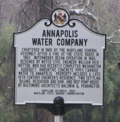
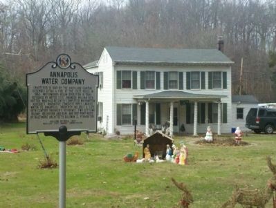
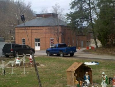
Annapolis Water Company
Erected by Maryland Historical Trust, Maryland State Highway Administration.
Topics and series. This historical marker is listed in this topic list: Industry & Commerce. In addition, it is included in the Maryland Historical Trust series list. A significant historical year for this entry is 1865.
Location. 38° 59.219′ N, 76° 34.012′ W. Marker is near Annapolis, Maryland, in Anne Arundel County. It is in Parole. Marker is on Defense Highway (Maryland Route 450) 0.6 miles west of Housley Road, on the right when traveling west. Touch for map. Marker is at or near this postal address: 270 Defense Hwy, Annapolis MD 21401, United States of America. Touch for directions.
Other nearby markers. At least 8 other markers are within 3 miles of this marker, measured as the crow flies. The General’s Highway (approx. one mile away); Trunk of the Three Mile Oak (approx. 1.2 miles away); Iglehart (approx. 1.6 miles away); Camp Parole (approx. 1.6 miles away); You Are Here (approx. 2 miles away); Political Representation in Ward Three, Parole (approx. 2 miles away); Mount Olive African Methodist Episcopal Church (approx. 2 miles away); Cecil Memorial United Methodist Church (approx. 2.1 miles away). Touch for a list and map of all markers in Annapolis.
Credits. This page was last revised on September 9, 2023. It was originally submitted on January 22, 2012, by F. Robby of Baltimore, Maryland. This page has been viewed 1,216 times since then and 46 times this year. Photos: 1, 2, 3. submitted on January 22, 2012, by F. Robby of Baltimore, Maryland.


