Hoover in Jefferson County, Alabama — The American South (East South Central)
Briarwood Presbyterian Church PCA
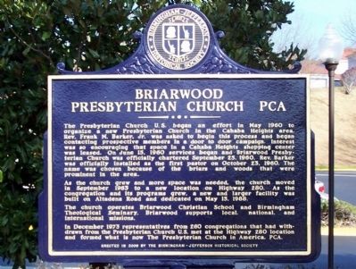
Photographed by David J Gaines, February 2, 2012
1. Briarwood Presbyterian Church PCA Marker
this page online
Erected 2009 by Birmingham-Jefferson Historical Society.
Topics. This historical marker is listed in this topic list: Religion & Religious Structures. A significant historical month for this entry is May 1960.
Location. 33° 25.037′ N, 86° 45.604′ W. Marker is in Hoover, Alabama, in Jefferson County. It can be reached from Briarwood Way. The marker is located in front of the church sanctuary. Touch for map. Marker is at or near this postal address: 2200 Briarwood Way, Birmingham AL 35243, United States of America. Touch for directions.

Regionally, this marker is in the Birmingham Metropolitan Area. It is also in the American South and specifically in the Deep South. Globally, it is in North America, a Gulf of Mexico state, the Western Hemisphere, the Western World, and the Anglosphere. Historically, it finds itself in what was once the territory of the Mississippian Culture, one of the Confederate States of America, and the Antebellum South.
Other nearby markers. At least 8 other markers are within 4 miles of this marker, measured as the crow flies: Rocky Ridge Elementary School
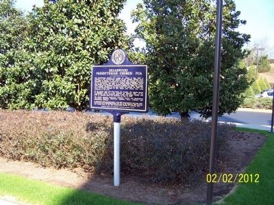
Photographed by David J Gaines, February 2, 2012
2. Briarwood Presbyterian Church PCA Marker
Credits. This page was last revised on June 16, 2016. It was originally submitted on February 3, 2012, by David J Gaines of Pinson, Alabama. This page has been viewed 1,115 times since then and 35 times this year. Photos: 1, 2. submitted on February 3, 2012, by David J Gaines of Pinson, Alabama. • Craig Swain was the editor who published this page.
