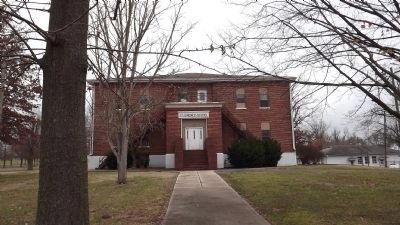
Fancy Farm in Graves County, Kentucky — The American South (East South Central)
Fancy Farm / Centennial Picnic, Aug. 2, 1980
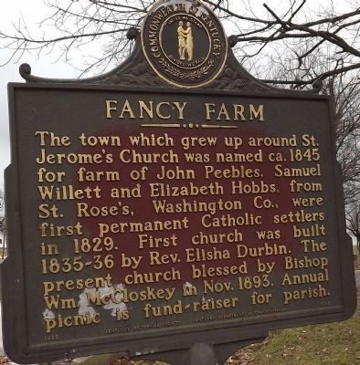
Fancy Farm
The town which grew up around St. Jerome's Church was named ca.1845 for farm of John Peebles. Samuel Willett and Elizabeth Hobbs, from St. Rose's, Washington Co., were first permanent Catholic settlers in 1829. First church was built 1835-36 by Rev. Elisha Durbin. The present church blessed by Bishop Wm. McCloskey in Nov. 1893. Annual picnic is fundraiser for parish.
(reverse)
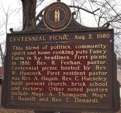
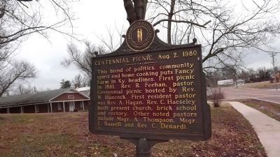
Centennial Picnic, Aug. 2, 1980
This blend of politics, community spirit and home cooking puts Fancy Farm in Ky. headlines. First picnic in 1881; Rev. R. Feehan, pastor. Centennial picnic hosted by Rev. W. Hancock. First resident pastor was Rev. A. Hagan. Rev. C. Haeseley built present church, brick school and rectory. Other noted pastors include Msgr. A. Thompson, Msgr. E. Russell and Rev. C. Denardi.
Erected 1980 by Kentucky Historical Society, Kentucky Department of Highways. (Marker Number 1682.)
Topics and series. This historical marker is listed in these topic lists: Churches & Religion • Settlements & Settlers. In addition, it is included in the Kentucky Historical Society series list. A significant historical date for this entry is August 2, 1944.
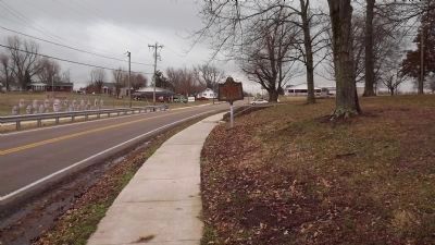
Location. 36° 47.9′ N, 88° 47.409′ W. Marker is in Fancy Farm, Kentucky, in Graves County. Marker is on Kentucky Route 80, 0.1 miles east of Kentucky Route 339, on the left when traveling west. Touch for map. Marker is at or near this postal address: 10225 State Route 80 W, Fancy Farm KY 42039, United States of America. Touch for directions.
Other nearby markers. At least 8 other markers are within 10 miles of this marker, measured as the crow flies. St. Jerome Sesquicentennial / Elisha John Durbin, 1800-1887 (about 500 feet away, measured in a direct line); Wooldridge Monuments (approx. 9.2 miles away); Two Successful Raids (approx. 9.2 miles away); First Presbyterian Church (approx. 9.2 miles away); First Baptist Church (approx. 9.4 miles away); County Named, 1823 (approx. 9.4 miles away); Colonel Herschel H. Green (approx. 9.4 miles away); Graves County Confederate Memorial (approx. 9.4 miles away).
Credits. This page was last revised on June 16, 2016. It was originally submitted on February 6, 2012, by Ken Smith of Milan, Tennessee. This page has been viewed 610 times since then and 17 times this year. Photos: 1, 2, 3, 4, 5, 6. submitted on February 6, 2012, by Ken Smith of Milan, Tennessee. • Bernard Fisher was the editor who published this page.
