Dolores in Montezuma County, Colorado — The American Mountains (Southwest)
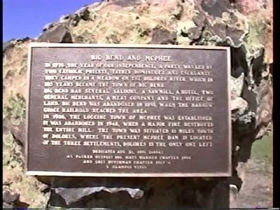
Big Bend and McPhee
In 1926 the logging town of McPhee was established. It was abandoned in 1948, when a major fire destroyed the entire mill. The town was situated 11 miles south of Dolores, where the present McPhee Dam is located. Of the three settlements, Dolores is the only one left.
Erected 1999 by Al Packer Chapter No. 100, Matt Warner Chapter No. 1900, Lost Dutchman Chapter No. 5917+4, E Clampus Vitus.
Topics and series. This historical marker is listed in this topic list: Settlements & Settlers. In addition, it is included in the E Clampus Vitus series list. A significant historical year for this entry is 1776.
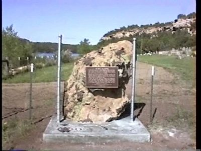
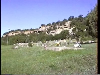
Location. 37° 28.253′ N, 108° 31.058′ W. Marker is in Dolores, Colorado, in Montezuma County. Marker is on County Road 28, on the right when traveling west. Marker is located at the Dolores Cemetery entrance. Touch for map. Marker is in this post office area: Dolores CO 81323, United States of America. Touch for directions.
Other nearby markers. At least 8 other markers are within 9 miles of this marker, measured as the crow flies. Water is Our Story (approx. 8˝ miles away); Preserving the McElmo Creek Flume (approx. 8˝ miles away); Greening the Valley (approx. 8˝ miles away); Water Technology (approx. 8˝ miles away); Welcome to the San Juan Skyway (approx. 8.9 miles away); Four Corners Resettled (approx. 8.9 miles away); Canyons of the Ancients National Monument (approx. 8.9 miles away); The Native Americans (approx. 8.9 miles away).
Credits. This page was last revised on June 16, 2016. It was originally submitted on October 29, 2011, by Frank Houdek of Kingman, Arizona. This page has been viewed 1,106 times since then and 45 times this year. Last updated on February 9, 2012, by Michael Kindig of Elk Grove, California. Photos: 1, 2, 3. submitted on October 29, 2011, by Frank Houdek of Kingman, Arizona. • Syd Whittle was the editor who published this page.


