Santa Fe in Galveston County, Texas — The American South (West South Central)
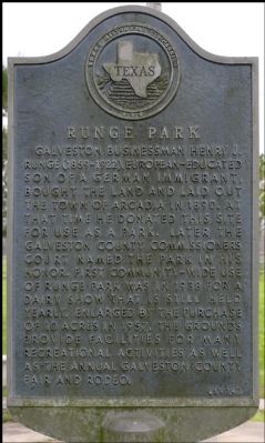
Runge Park
Erected 1974 by Texas Historical Commission. (Marker Number 7169.)
Topics. This historical marker is listed in this topic list: Settlements & Settlers. A significant historical year for this entry is 1890.
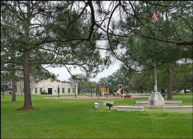
Location. 29° 22.69′ N, 95° 7.356′ W. Marker is in Santa Fe, Texas, in Galveston County. Marker can be reached from 8th Street. Located in Runge park. Touch for map. Marker is in this post office area: Santa Fe TX 77517, United States of America. Touch for directions.
Other nearby markers. At least 8 other markers are within 4 miles of this marker, measured as the crow flies. Arcadia Christian Church (approx. 0.3 miles away); Dairy Industry in the Santa Fe Area (approx. 0.4 miles away); Santa Fe Consolidated High School (approx. one mile away); Alta Loma (approx. 2˝ miles away); Original Site of First Baptist Church of Alta Loma (approx. 2.6 miles away); Miller-Brautigam Home (approx. 2.6 miles away); Alta Loma Cemetery (approx. 2.8 miles away); Hitchcock Depot (approx. 3.4 miles away). Touch for a list and map of all markers in Santa Fe.
Credits. This page was last revised on June 16, 2016. It was originally submitted on February 10, 2012, by Jim Evans of Houston, Texas. This page has been viewed 1,016 times since then and 70 times this year. Photos: 1, 2. submitted on February 10, 2012, by Jim Evans of Houston, Texas. • Craig Swain was the editor who published this page.

