Sacramento in Sacramento County, California — The American West (Pacific Coastal)
POW/MIA
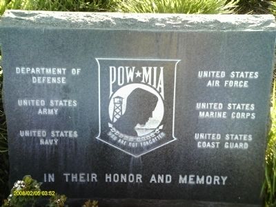
Inscription.
Topics. This historical marker is listed in this topic list: War, Vietnam.
Location. 38° 40.54′ N, 121° 23.455′ W. Marker is in Sacramento, California, in Sacramento County. Marker can be reached from Freedom Park Road west of Watt Avenue, on the left when traveling west. Touch for map. Marker is in this post office area: McClellan CA 95652, United States of America. Touch for directions.
Other nearby markers. At least 8 other markers are within 3 miles of this marker, measured as the crow flies. Base Headquarters (approx. 0.9 miles away); McClellan Air Force Base (approx. 0.9 miles away); a different marker also named McClellan Air Force Base (approx. 0.9 miles away); Base Hospital (approx. one mile away); Bachelors' Barracks and Post Exchange (approx. one mile away); Rapid Area Maintenance Team (approx. one mile away); Firehouse (approx. 1.1 miles away); Walerga Assembly Center (approx. 2.2 miles away). Touch for a list and map of all markers in Sacramento.
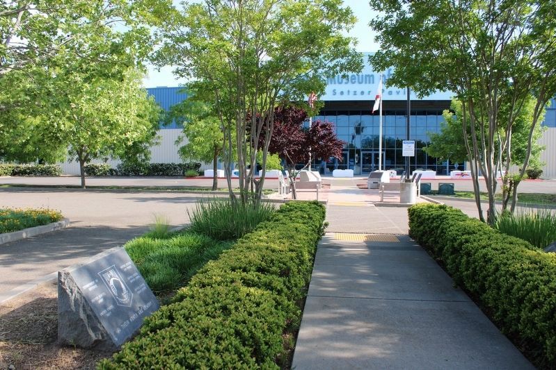
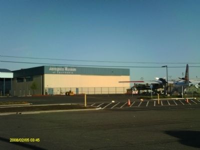
More about this marker. The monument is directly in front of the Aerospace Museum of California.
Regarding POW/MIA. Remembering the 20,553 KIA, 2,500 MIA, and 587 POWs who fought in Vietnam through the 1960's.
Credits. This page was last revised on May 8, 2023. It was originally submitted on February 17, 2012, by S B of Sacramento, California. This page has been viewed 619 times since then and 14 times this year. Photos: 1. submitted on February 17, 2012, by S B of Sacramento, California. 2. submitted on May 8, 2023, by Joseph Alvarado of Livermore, California. 3. submitted on February 17, 2012, by S B of Sacramento, California. • Syd Whittle was the editor who published this page.


