Pomaria in Newberry County, South Carolina — The American South (South Atlantic)
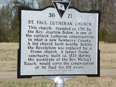
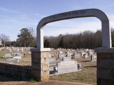
St. Paul Lutheran Church
This church, founded ca. 1761 by the Rev. Joachim Bulow, is one of the earliest Lutheran congregations in what is now Newberry County. A log church built nearby before the Revolution was replaced by a frame church. A larger frame sanctuary, built ca. 1830 during the pastorate of the Rev. Michael Rauch, would serve the congregation of St. Paul for 108 years.
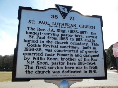
Reverse
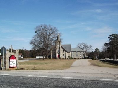
The Rev. J.A. Sligh (1835 ~ 1917), the longest ~ serving pastor here, served St. Paul from 1865 to 1912 and is buried in the church cemetery. This Gothic Revival sanctuary, built in 1936 ~ 38, was constructed of granite quarried near Pomaria and designed by Willie Koon, brother of the Rev. S.P. Koon, pastor here 1916 ~ 1934. The first service here was in 1938; the church was dedicated in 1941.
Erected 2011 by The Congretation. (Marker Number 36 - 21.)
Topics. This historical marker is listed in this topic list: Churches & Religion. A significant historical year for this entry is 1761.
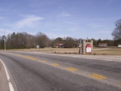
Location. 34° 14.56′ N, 81° 27.296′ W. Marker is in Pomaria, South Carolina, in Newberry County. Marker is at the intersection of State Highway 773 and Wicker Road, on the right when traveling north on State Highway 773. Touch for map. Marker is in this post office area: Pomaria SC 29126, United States of America. Touch for directions.
Other nearby markers. At least 8 other markers are within 6 miles of this marker, measured as the crow flies. Rev. Joachim Bulow. (about 300 feet away, measured in a direct line); Pomaria (approx. 2.7 miles away); Lutheran Theological Southern Seminary (approx. 2.7 miles away); Folk-Holloway House (approx. 2.7 miles away); Bethlehem Lutheran Church (approx. 3.1 miles away); St. John's Church (approx. 4.9 miles away); Confederate Veterans (approx. 5 miles away); Clayton Memorial Universalist Unitarian (approx. 5.4 miles away). Touch for a list and map of all markers in Pomaria.
Credits. This page was last revised on June 16, 2016. It was originally submitted on February 18, 2012, by Anna Inbody of Columbia, South Carolina. This page has been viewed 741 times since then and 34 times this year. Photos: 1, 2, 3, 4, 5. submitted on February 18, 2012, by Anna Inbody of Columbia, South Carolina. • Craig Swain was the editor who published this page.
