Mojave in Kern County, California — The American West (Pacific Coastal)
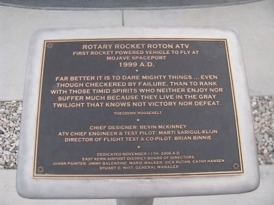
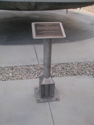
Rotary Rocket Roton ATV
First Rocket Powered Vehicle to Fly At Mojave Spaceport
— 1999 A.D. —
Far better it is to dare mighty things...even through checkered by failure, than to rank with those timid spirits who neither enjoy nor suffer much because they live in the gray twilight that knows not victory nor defeat.
Theodore Roosevelt
Chief Designer: Bevin McKinney
ATV Chief Engineer & Test Pilot: Marti Sarigul-Klijn
Director of Flight Test & Co-Pilot: Brian Binnie
Erected 2006 by East Kern Airport District Board of Directors.
Topics and series. This historical marker is listed in this topic list: Air & Space. In addition, it is included in the Former U.S. Presidents: #26 Theodore Roosevelt series list.
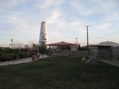
Location. 35° 3.324′ N, 118° 9.479′ W. Marker is in Mojave, California, in Kern County. Marker is on Flightline Street, on the left when traveling west. Located across the street from the Mojave Control Tower at Legacy Park. Touch for map. Marker is at or near this postal address: 1434 Flightline Street, Mojave CA 93501, United States of America. Touch for directions.
Other nearby markers. At least 8 other markers are within walking distance of this marker. Voyager Aircraft / SpaceShipOne Replica (a few steps from this marker); Wen Painter (a few steps from this marker); Albert C. Hansen (a few steps from this marker); United States Marine Corps Air Station (within shouting distance of this marker); Mojave Air & Spaceport (within shouting distance of this marker); Golden Queen Mine Cart (within shouting distance of this marker); Convair CV-990 (approx. 0.7 miles away); F-4 Phantom II (approx. 0.7 miles away). Touch for a list and map of all markers in Mojave.
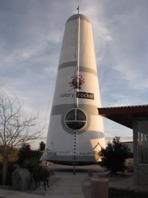
Regarding Rotary Rocket Roton ATV. Designed to be the first privately built low-cost spacecraft, it would launch like a rocket and land like a helicopter. Like many other private space companies of the time, they went bankrupt before reaching space.
This full-size, 63 ft tall Atmospheric Test Vehicle (ATV) was built under contract by Scaled Composites for use in hover test flights. The $2.8 million ATV was not intended as an all-up test article, since it had no rocket engine and no heat shielding. The ATV flew three successful test flights in 1999. Rotary Rocket closed in 2001.
Scaled Composites Space Ship One conducted the first privately funded human sub-orbital flight here on June 21, 2004.
In 2013, Mojave Airport changed its name to Mojave Air and Space Port.
Credits. This page was last revised on April 19, 2024. It was originally submitted on March 2, 2012, by Denise Boose of Tehachapi, California. This page has been viewed 900 times since then and 35 times this year. Photos: 1, 2, 3, 4, 5. submitted on March 2, 2012, by Denise Boose of Tehachapi, California. • Syd Whittle was the editor who published this page.


