Columbia in Tuolumne County, California — The American West (Pacific Coastal)
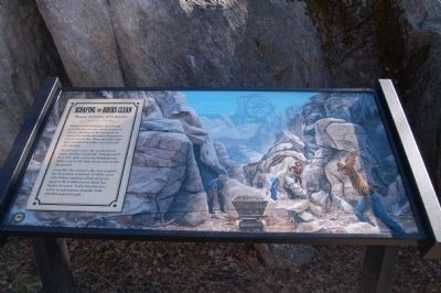
Scraping the Rocks Clean
Mining Activities at Columbia
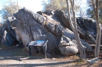
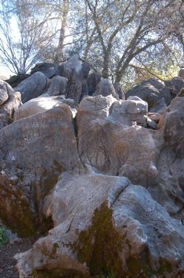
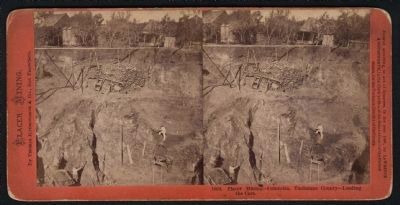
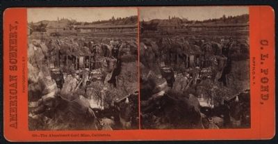
Armed with pickaxes,shovels and powerful jets of water miners, removed massive amounts of dirt and gravel to expose the marble limestone formations you see here today. Deep open-pit mines once extended for miles east and south of Columbia.
As gold grew scarce, the search moved closer, into the community. Townspeople’s lives were upset and many buildings torn down to get to the shiny metal underneath the ground.
Long after the mining in this area stopped, the devastation remained. It will be many years before anything substantial grows again in the boulder-strewn fields that border the town. Today this limestone serves as a permanent reminder of the relentless search for gold.
Topics. This historical marker is listed in these topic lists: Industry & Commerce • Natural Resources.
Location. 38° 2.021′ N, 120° 24.029′ W. Marker is in Columbia, California, in Tuolumne County. Marker is on Columbia Street. This marker is located in the gold panning demonstration area of Columbia State Historical Park, just north of the south parking area off of Columbia Street. Touch for map. Marker is in this post office area: Columbia CA 95310, United States of America. Touch for directions.
Other nearby markers. At least 8 other markers are within walking distance of this marker. Site of Donnell & Parsons Building (within shouting distance of this marker); A Home for Immigrants (about 300 feet away, measured in a direct line); Eagle Cotage (about 300 feet away); Hildreth Party (about 300 feet away); Columbia Masonic Temple (about 300 feet away); Hon. Jesse M. Mayo (about 500 feet away); Wilson/McConnell House (about 600 feet away); Water, Precious as Gold (about 700 feet away). Touch for a list and map of all markers in Columbia.
Credits. This page was last revised on June 16, 2016. It was originally submitted on March 8, 2012, by Barry Swackhamer of Brentwood, California. This page has been viewed 513 times since then and 22 times this year. Photos: 1, 2, 3, 4, 5. submitted on March 8, 2012, by Barry Swackhamer of Brentwood, California. • Syd Whittle was the editor who published this page.
