Tuolumne in Tuolumne County, California — The American West (Pacific Coastal)
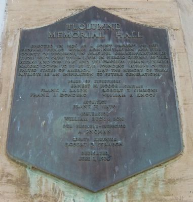
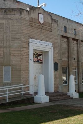
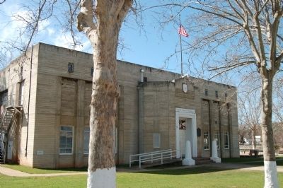
Tuolumne Memorial Hall
Ernest H. Hodge...Chairman
Frank J. Ralph • Robert T. Simmons • Frank J. Dondero • William F. Knoop
Architect
Frank W. Mayo
Contractor
William Buck & Son
PWA Engineer-Inspector
A. Engman
County Surveyor
Robert d. Straugh
Dedicated June 7, 1936
Erected 1936.
Topics. This historical marker is listed in this topic list: Notable Buildings. A significant historical date for this entry is June 7, 1936.
Location. 37° 57.629′ N, 120° 14.28′ W. Marker is in Tuolumne, California, in Tuolumne County. Marker can be reached from Fir Avenue, on the right when traveling west. This marker is located between Pine and Main Streets. Touch for map. Marker is at or near this postal address: 18375 Fir Avenue, Tuolumne CA 95379, United States of America. Touch for directions.
Other nearby markers. At least 8 other markers are within 3 miles of this marker, measured as the crow flies . West Side Memorial Park (about 300 feet away, measured in a direct line); Tuolumne (formerly called Summersville) (approx. 0.3 miles away); Westside Flume & Lumber Company (approx. 0.4 miles away); Hose Cart House (approx. 0.6 miles away); The Joseph Lord House (approx. 0.7 miles away); Cherokee (approx. 1.4 miles away); Ralph’s Station (approx. 1.8 miles away); Soulsbyville (approx. 2.2 miles away). Touch for a list and map of all markers in Tuolumne.
Credits. This page was last revised on June 16, 2016. It was originally submitted on March 9, 2012, by Barry Swackhamer of Brentwood, California. This page has been viewed 486 times since then and 29 times this year. Photos: 1, 2, 3. submitted on March 9, 2012, by Barry Swackhamer of Brentwood, California. • Syd Whittle was the editor who published this page.


