Norwalk in Fairfield County, Connecticut — The American Northeast (New England)
Norwalk
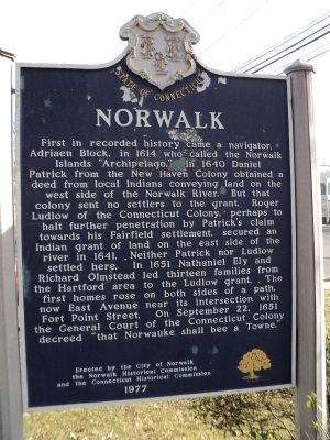
First in recorded history came a navigator, Adriaen Block, in 1614 who called the Norwalk Islands “Archipelago.” In 1640 Daniel Patrick from the New Haven Colony obtained a deed from local Indians conveying land on the west side of the Norwalk River. But that colony sent no settlers to the grant. Roger Ludlow of the Connecticut Colony, perhaps to halt further penetration by Patrick’s claim towards his Fairfield settlement, secured and Indian grant of land on the east side of the river in 1641. Neither Patrick nor Ludlow settled here. In 1651 Nathaniel Ely and Richard Olmstead led thirteen families from the Hartford area to the Ludlow grant. The first homes rose on both sides of a path, now East Avenue near its intersection with Fort Point Street. On September 22, 1651 the General Court of the Connecticut Colony decreed “that Norwauke shall bee a Towne.”
Erected 1977 by City of Norwalk, Norwalk Historical Commission & the Connecticut Historical Commission.
Topics. This historical marker is listed in this topic list: Settlements & Settlers. A significant historical month for this entry is September 1788.
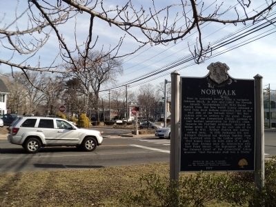
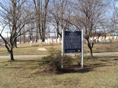
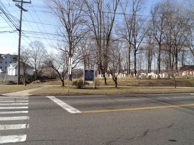
Location. 41° 7.06′ N, 73° 24.519′ W. Marker is in Norwalk, Connecticut, in Fairfield County. Marker is at the intersection of E Wall Street and Park Street, on the right when traveling east on E Wall Street. Marker is located at Mill Hill Park. Touch for map. Marker is in this post office area: Norwalk CT 06855, United States of America. Touch for directions.
Other nearby markers. At least 8 other markers are within walking distance of this marker. Norwalk World War I Memorial (about 300 feet away, measured in a direct line); Burning of Norwalk (about 600 feet away); St. Paul’s Historic Graveyard (approx. 0.2 miles away); Parish of St. Paul’s (approx. 0.2 miles away); St. Paul’s Church (approx. 0.2 miles away); Liberty Tree Memorial (approx. 0.3 miles away); Battle of the Rocks Monument (approx. 0.6 miles away); Norwalk Founded (approx. 0.9 miles away). Touch for a list and map of all markers in Norwalk.
Credits. This page was last revised on June 16, 2016. It was originally submitted on March 12, 2012, by Bill Coughlin of Woodland Park, New Jersey. This page has been viewed 815 times since then and 32 times this year. Photos: 1, 2, 3, 4. submitted on March 12, 2012, by Bill Coughlin of Woodland Park, New Jersey.


