East Norwalk in Fairfield County, Connecticut — The American Northeast (New England)
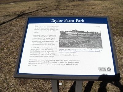
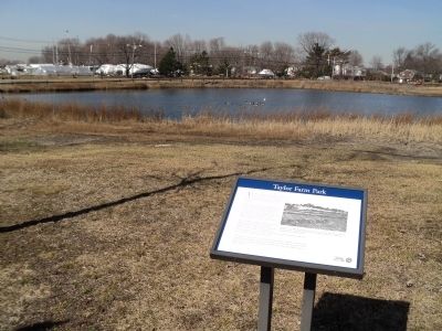
Taylor Farm Park
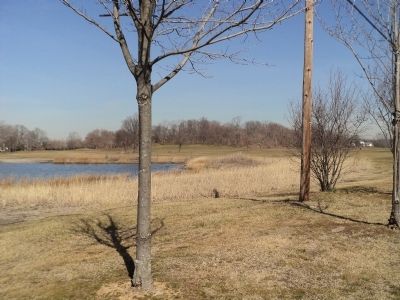
This 30-acre open space is what remains of the former Marvin-Taylor farm property, a spread that once was called “one of the fairest domains in Southern New England.”
Descendants of one of Norwalk’s earliest residents, Matthew Marvin, first bought 10 acres here in 1790. William Marvin moved into a new 19-room farmhouse in December 1836 and gradually bought more adjacent land. (The house was where Marvin Elementary School stands today.)
In 1968, William Marvin’s great-grandsons, William Marvin Taylor and Frederick Bradford Taylor, sold what remained of the family’s property to the city. Thirty acres were turned into Taylor Farm Park and 10 acres were designated for the new Marvin School, which opened in 1970.
The land was sold to the city to remain as open space. Annual events here have included hot-air balloon festivals and antique car shows. But most days, Taylor Farm serves as one of the best places in town to give dogs (and their owners) some exercise.
Topics. This historical marker is listed in this topic list: Notable Places. A significant historical month for this entry is December 1836.
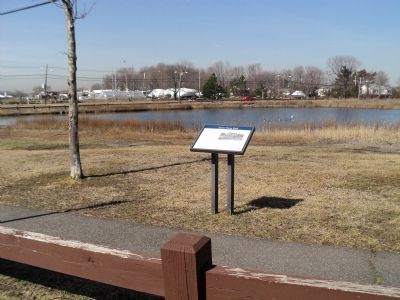
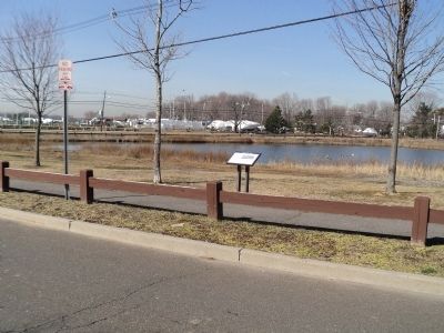
Location. 41° 5.274′ N, 73° 23.613′ W. Marker is in Norwalk, Connecticut, in Fairfield County. It is in East Norwalk. Marker is on Canfield Avenue, on the left when traveling east. Touch for map. Marker is at or near this postal address: 99 Calf Pasture Beach Rd, Norwalk CT 06855, United States of America. Touch for directions.
Other nearby markers. At least 8 other markers are within walking distance of this marker. A Calf Pasture Primer (about 600 feet away, measured in a direct line); The Marvin Property (approx. 0.3 miles away); Lifeguarding History (approx. 0.3 miles away); Harvesting from the Sea (approx. 0.3 miles away); The British Invasion (approx. 0.4 miles away); Roger Ludlow (approx. 0.6 miles away); Fitch’s Point (approx. 0.7 miles away); A Habitat Renewed (approx. one mile away). Touch for a list and map of all markers in Norwalk.
More about this marker. A picture at the upper right of the marker has a caption of “This photo, circa 1900, shows haying operations under way on the Marvin farm property. The Marvin home and farm buildings, located where Marvin Elementary School now stands, can be seen in the distance.” Photo courtesy of The Norwalk Museum.
Credits. This page was last revised on June 28, 2023. It was originally submitted on March 13, 2012, by Bill Coughlin of Woodland Park, New Jersey. This page has been viewed 1,096 times since then and 43 times this year. Photos: 1, 2, 3, 4, 5. submitted on March 13, 2012, by Bill Coughlin of Woodland Park, New Jersey.
