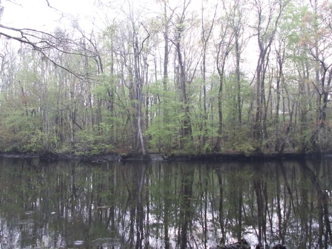
Near Rhems in Georgetown County, South Carolina — The American South (South Atlantic)
Black Mingo Creek:
Fighting Among Neighbors
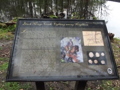
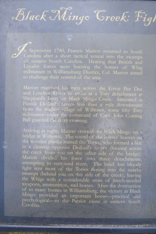
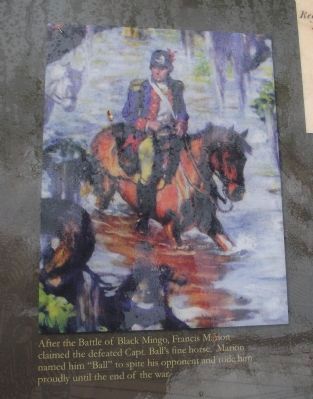
In September 1780, Francis Marion returned to South Carolina after a short tactical retreat into the swamps of eastern North Carolina. Hearing that British and Loyalist forces were burning the homes of Whig militiamen in Williamsburg District, Col. Marion aimed to challenge their control of the area.
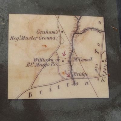
Marion marched his men across the Great Pee Dee and Lynches Rivers to strike at a Tory detachment at Sheppard’s Ferry on Black Mingo Creek. Stationed at Patrick Dollard’s tavern less than a mile downstream from the trading village of Willtown, some fifty Tory militiamen under the command of Capt. John Coming Ball guarded the ferry crossing.
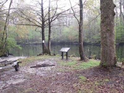
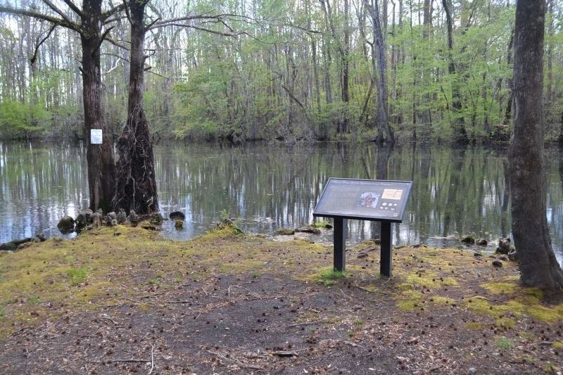
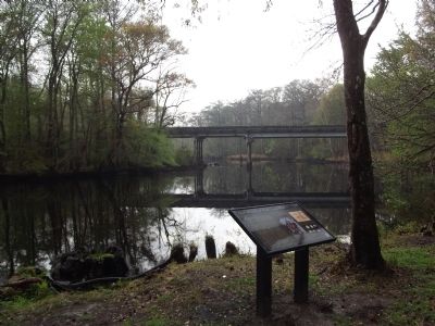
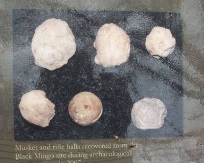
Arriving at night, Marion crossed the Black Mingo on a bridge at Willtown. The sound of the horses' hooves on the wooden planks roused the Tories, who formed a line in a clearing opposite Dollard’s tavern (located across the creek from you on the other side of the bridge). Marion divided his force into three detachments, attempting to surround them. The brief but bloody fight sent most of the Tories fleeing into the nearby swamps (behind you on this side of the creek), leaving the Whigs with a considerable store of much-needed weapons, ammunition, and horses. After the destruction of so many homes in Williamsburg, the victory at Black Mingo provided an important boost ~ practical and psychological ~ to the Patriot cause in eastern South Carolina.
Erected 2012 by Francis Marion Trail Commission of Francis Marion University.
Topics and series. This historical marker is listed in this topic list: War, US Revolutionary. In addition, it is included in the Francis Marion Trail, and the Francis Marion Trail series lists. A significant historical month for this entry is September 1780.
Location. 33° 37.288′ N, 79° 25.947′ W. Marker is near Rhems, South Carolina, in Georgetown County. Marker can be reached from Mingo Landing Trail (State Highway 41). At the boat landing near the bridge over Black Mingo Creek. There is a state marker for the Battle of Black Mingo across from the boat ramp access. Touch for map. Marker is in this post office area: Georgetown SC 29440, United States of America. Touch for directions.
Other nearby markers. At least 10 other markers are within 11 miles of this marker, measured as the crow flies. Skirmish At Black Mingo Creek (about 400 feet away, measured in a direct line); Black Mingo – Willtown / Black Mingo Baptist Church (approx. 0.4 miles away); Black Mingo Presbyterian Meeting House (approx. 1.4 miles away); Birthplace of Jeremiah John Snow / China Grove Plantation (approx. 1˝ miles away); Benjamin Britton Chandler (1854–1925) (approx. 4.8 miles away); Pleasant Hill School (approx. 5.6 miles away); Pleasant Hill Baptist Church (approx. 5.6 miles away); Prince George Winyah Parish / Prince Frederick’s Parish (approx. 6˝ miles away); Indiantown Presbyterian Church (approx. 10.3 miles away); Indiantown Presbyterian Church: “Disarm in the Most Rigid Manner” (approx. 10.3 miles away).
Credits. This page was last revised on April 5, 2017. It was originally submitted on March 19, 2012, by Anna Inbody of Columbia, South Carolina. This page has been viewed 3,077 times since then and 95 times this year. Photos: 1. submitted on March 19, 2012, by Anna Inbody of Columbia, South Carolina. 2. submitted on April 5, 2017, by Brian Scott of Anderson, South Carolina. 3. submitted on March 19, 2012, by Anna Inbody of Columbia, South Carolina. 4. submitted on April 5, 2017, by Brian Scott of Anderson, South Carolina. 5, 6, 7, 8, 9. submitted on March 19, 2012, by Anna Inbody of Columbia, South Carolina. • Craig Swain was the editor who published this page.
