Morningside Heights in Manhattan in New York County, New York — The American Northeast (Mid-Atlantic)
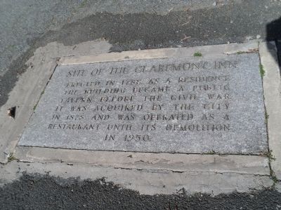
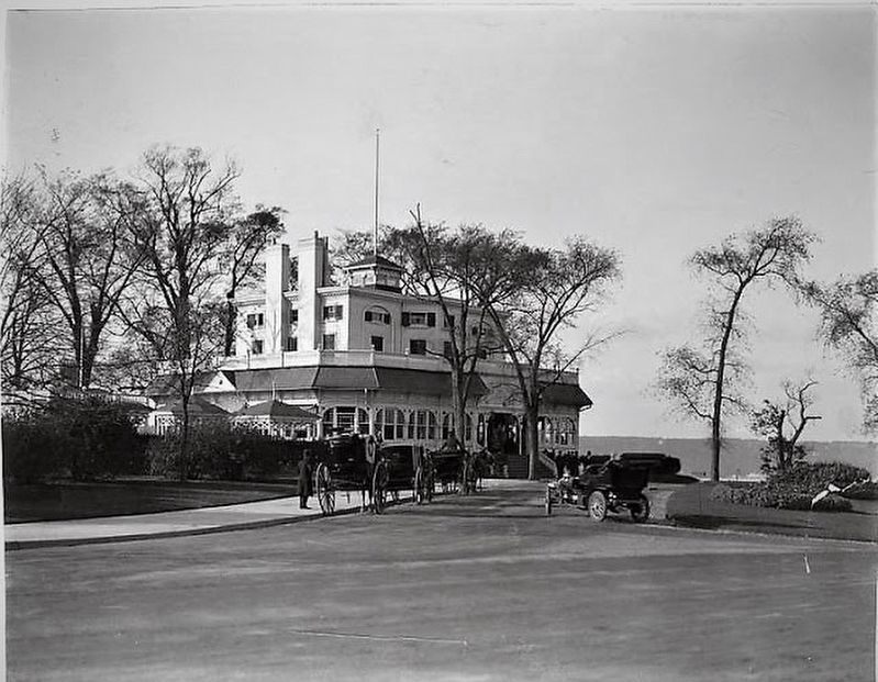
Site of the Claremont Inn
the building became a public
tavern before the Civil War.
It was acquired by the City
in 1878 and was operated as a
restaurant until its demolition
in 1950.
Topics. This historical marker is listed in this topic list: Notable Places. A significant historical year for this entry is 1788.
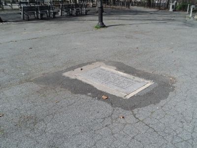
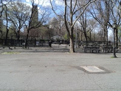
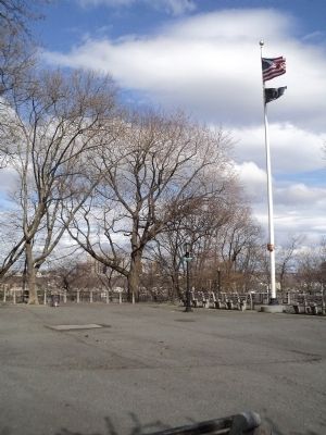
Location. 40° 48.926′ N, 73° 57.717′ W. Marker is in Manhattan, New York, in New York County. It is in Morningside Heights. Marker is on Riverside Drive, on the left when traveling north. Marker is located just north of the Claremont Playground, near Grant's Tomb. Touch for map. Marker is in this post office area: New York NY 10027, United States of America. Touch for directions.
Other nearby markers. At least 8 other markers are within walking distance of this marker. Claremont Playground (within shouting distance of this marker); The Amiable Child Monument (about 400 feet away, measured in a direct line); International House (about 600 feet away); Sakura Park (about 700 feet away); Tomb of General U.S. Grant (about 700 feet away); Japanese Lantern (about 700 feet away); Horace Porter (approx. 0.2 miles away); Fred’k D. Grant (approx. 0.2 miles away). Touch for a list and map of all markers in Manhattan.
Also see . . . The Lost Claremont Inn - Riverside Dr and 124th Street. "Daytonian in Manhattan" entry. (Submitted on April 12, 2020, by Larry Gertner of New York, New York.)
Credits. This page was last revised on January 31, 2023. It was originally submitted on March 29, 2012, by Bill Coughlin of Woodland Park, New Jersey. This page has been viewed 504 times since then and 25 times this year. Photos: 1, 2, 3, 4. submitted on March 29, 2012, by Bill Coughlin of Woodland Park, New Jersey. 5. submitted on November 20, 2019, by Larry Gertner of New York, New York.
