Palo Alto in Santa Clara County, California — The American West (Pacific Coastal)
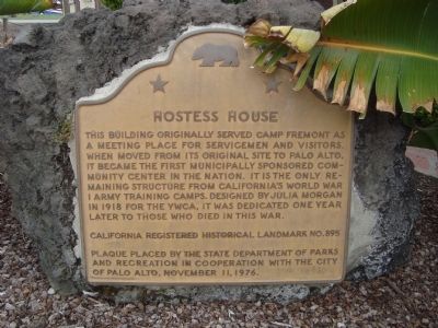
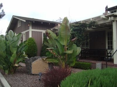
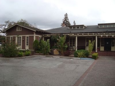
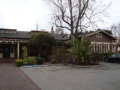
Hostess House
Erected 1976 by State Department of Parks and Recreation in cooperation with the City of Palo Alto. (Marker Number 895.)
Topics and series. This historical marker is listed in these topic lists: Notable Buildings • War, World I. In addition, it is included in the California Historical Landmarks series list. A significant historical year for this entry is 1918.
Location. 37° 26.576′ N, 122° 9.929′ W. Marker is in Palo Alto, California, in Santa Clara County. Marker is at the intersection of Mitchell Lane and University Avenue on Mitchell Lane. Touch for map. Marker is at or near this postal address: 27 Mitchell Lane, Palo Alto CA 94301, United States of America. Touch for directions.
Other nearby markers. At least 8 other markers are within walking distance of this marker. History of Tower Well (approx. ¼ mile away); San Francisquito Creek Watershed (approx. 0.4 miles away); a different marker also named San Francisquito Creek Watershed (approx. 0.4 miles away); El Palo Alto (approx. 0.4 miles away); Early People of the Creek (approx. 0.4 miles away); Electronics Research Laboratory (approx. 0.4 miles away); Portola Journey's End (approx. half a mile away); Birthplace of “Silicon Valley” (approx. 0.6 miles away). Touch for a list and map of all markers in Palo Alto.
Credits. This page was last revised on June 16, 2016. It was originally submitted on March 31, 2012, by Barry Swackhamer of Brentwood, California. This page has been viewed 800 times since then and 17 times this year. Photos: 1, 2, 3, 4. submitted on March 31, 2012, by Barry Swackhamer of Brentwood, California. • Syd Whittle was the editor who published this page.


