Rome in Oneida County, New York — The American Northeast (Mid-Atlantic)
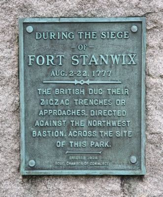
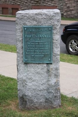
British Trenches
— of —
Fort Stanwix
Aug. 2-22, 1777
——— • ———
The British dug their
zigzag trenches or
approaches, directed
against the northwest
bastion, across the site
of this park.
————
Erected 1928 by Rome Chamber of Commerce.
Topics. This historical marker is listed in these topic lists: Forts and Castles • War, US Revolutionary. A significant historical month for this entry is August 1916.
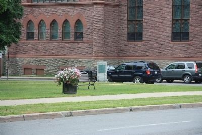
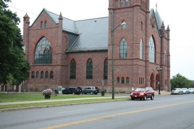
Location. 43° 12.747′ N, 75° 27.329′ W. Marker is in Rome, New York, in Oneida County. Marker is at the intersection of North James Street and East Park Street, on the left when traveling south on North James Street. This historical marker is located in the southwest corner of the community park (public square) that is located in front of the County Courthouse to the north and the Rome Historical Society to the east and a large church constructed of red stone to the south. Touch for map. Marker is in this post office area: Rome NY 13440, United States of America. Touch for directions.
Other nearby markers. At least 8 other markers are within walking distance of this marker. Brigadier General Peter Gansevoort, Jr. (within shouting distance of this marker); Rome (within shouting distance of this marker); Rome Court House (within shouting distance of this marker); Senator John Fitzgerald Kennedy (about 300 feet away, measured in a direct line); Unknown Soldiers (about 300 feet away); Futile Approach (about 300 feet away); Powder Magazine (about 600 feet away); Surgeon’s Day Room (about 600 feet away). Touch for a list and map of all markers in Rome.
Credits. This page was last revised on June 16, 2016. It was originally submitted on April 6, 2012, by Dale K. Benington of Toledo, Ohio. This page has been viewed 582 times since then and 11 times this year. Photos: 1, 2, 3, 4, 5. submitted on April 6, 2012, by Dale K. Benington of Toledo, Ohio.


