Big Pine in Inyo County, California — The American West (Pacific Coastal)
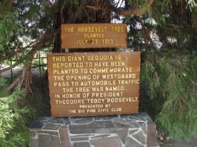
The Roosevelt Tree
Planted July 23, 1913
Inscription.
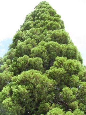
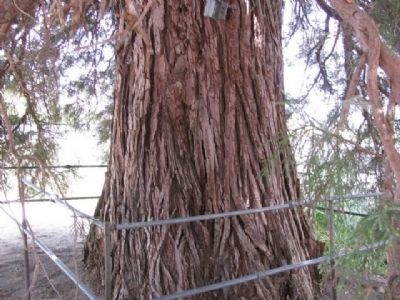
This Giant Sequoia is reported to have been planted to commemorate the opening of Westgaard Pass to automobile traffic. The tree was named in honor of President Theodore "Teddy" Roosevelt.
Erected by The Big Pine Civic Club.
Topics and series. This historical marker is listed in this topic list: Horticulture & Forestry. In addition, it is included in the Historic Trees series list.
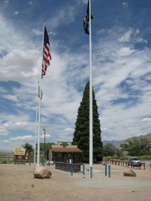
Location. 37° 10.398′ N, 118° 17.388′ W. Marker is in Big Pine, California, in Inyo County. Marker is at the intersection of Three Flags Highway (Highway 395) and County Route 168, on the right when traveling north on Three Flags Highway. Touch for map. Marker is in this post office area: Big Pine CA 93513, United States of America. Touch for directions.
Other nearby markers. At least 8 other markers are within 15 miles of this marker, measured as the crow flies. Westgaard Pass Toll Road (here, next to this marker); Big Pine Veterans Memorial (here, next to this marker); Zurich Station (approx. 1.7 miles away); The Old Inyo County Jailhouse (approx. 14.1 miles away); History of "Dangerous Arrest" (approx. 14.3 miles away); Project Sierra Wave (approx. 14.3 miles away); The Ernest Kinney Teamster Family Mural (approx. 14.4 miles away); Slim Princess (approx. 14.4 miles away). Touch for a list and map of all markers in Big Pine.
Credits. This page was last revised on June 16, 2016. It was originally submitted on April 14, 2012, by Denise Boose of Tehachapi, California. This page has been viewed 1,061 times since then and 57 times this year. Photos: 1, 2, 3, 4. submitted on April 14, 2012, by Denise Boose of Tehachapi, California. • Syd Whittle was the editor who published this page.


