Los Cerrillos in Santa Fe County, New Mexico — The American Mountains (Southwest)
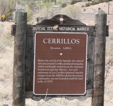
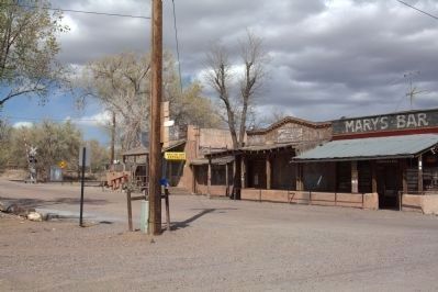
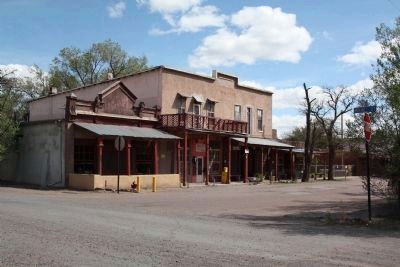
Cerrillos
Elevation 5,688 ft.
Erected by New Mexico Department of Cultural Affairs, Historic Preservation Division.
Topics. This historical marker is listed in this topic list: Political Subdivisions. A significant historical year for this entry is 1680.
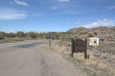
Location. 35° 26.088′ N, 106° 7.229′ W. Marker is in Los Cerrillos, New Mexico, in Santa Fe County. Marker is at the intersection of Main Street and The Turquoise Trail National Scenic Byway (State Road 14), on the right when traveling west on Main Street. Touch for map. Marker is in this post office area: Cerrillos NM 87010, United States of America. Touch for directions.
Other nearby markers. At least 8 other markers are within walking distance of this marker. St. Joseph's Church (approx. 0.3 miles away); R. Granito's General Store (approx. 0.3 miles away); The Simoni Store (approx. 0.3 miles away); The Joe M. Granito Block (approx. 0.3 miles away); DeLallo-Simoni-Torres Building (approx. 0.3 miles away); The Cerrillos Bar (approx. 0.3 miles away); Briggs Building (approx. 0.3 miles away); C. Rael's Market (approx. 0.3 miles away). Touch for a list and map of all markers in Los Cerrillos.
Also see . . .
1. Cerrillos Historical Society. “Spring 1880 – Cerrillos boasts 26 saloons, an unverifiable factoid, but entirely possible. All you need for a saloon is a tent, a few bottles and a card table. If you aspire to be a First Class Saloon however, then you also need some upstairs entertainment. . . . 1958 – Walt Disney shoots portions of The Nine Lives of Elfego Baca in Cerrillos. 1962 – The Cerrillos primary school is closed because of diminished enrollment and economic problems.” (Submitted on April 21, 2012.)
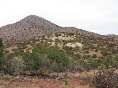
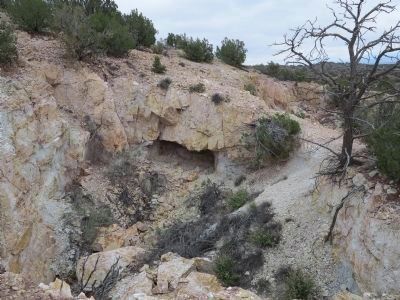
2. Mount Chalchihuitl. Short video on Cerrillos Hills Historic Park on the Turquoise Trail National Scenic Byway. Includes a discussion of Mount Chalchihuitl, just north of Cerrillos, thought to be one of the oldest prehistoric mines in North America. (Submitted on October 29, 2013, by Richard Denney of Austin, Texas.)
3. Cerrillos Mining District. Article about mining in the Cerrillos Hills covering prehistoric, Spanish Colonial times, and American 19th century. (Submitted on October 29, 2013, by Richard Denney of Austin, Texas.)
Credits. This page was last revised on September 11, 2021. It was originally submitted on April 21, 2012, by J. J. Prats of Powell, Ohio. This page has been viewed 771 times since then and 28 times this year. Last updated on April 21, 2012, by Keith S Smith of West Chester, Pennsylvania. Photos: 1, 2, 3, 4, 5, 6. submitted on April 21, 2012, by J. J. Prats of Powell, Ohio. 7, 8. submitted on October 29, 2013, by Richard Denney of Austin, Texas. • Bill Pfingsten was the editor who published this page.
