Argyle in Lafayette County, Wisconsin — The American Midwest (Great Lakes)
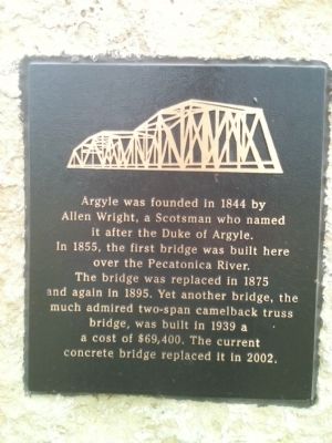
Argyle
Topics. This historical marker is listed in these topic lists: Bridges & Viaducts • Settlements & Settlers. A significant historical year for this entry is 1844.
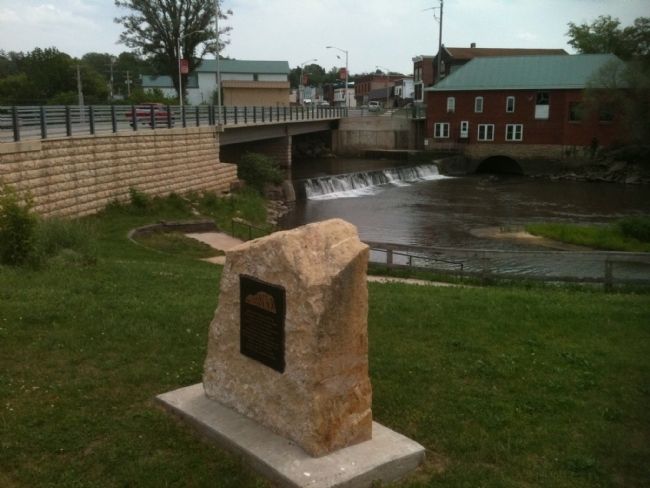
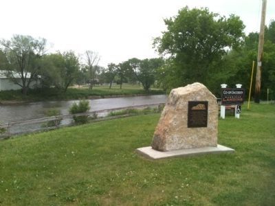
Location. 42° 42.09′ N, 89° 52.17′ W. Marker is in Argyle, Wisconsin, in Lafayette County. Marker is at the intersection of Mineral Point Road (State Highway 78) and River Street, on the right when traveling east on Mineral Point Road. Touch for map. Marker is in this post office area: Argyle WI 53504, United States of America. Touch for directions.
Other nearby markers. At least 8 other markers are within 8 miles of this marker, measured as the crow flies. Saxton House (about 800 feet away, measured in a direct line); Partridge Hall Star Theatre (approx. 0.2 miles away); Battle of Pecatonica (approx. 2.8 miles away); The Battle of the Pecatonica (approx. 3 miles away); East Wiota Lutheran Church (approx. 4.3 miles away); Fort Hamilton (approx. 6.1 miles away); Earliest Settlers (approx. 7.3 miles away); Zarahemla (approx. 7.6 miles away). Touch for a list and map of all markers in Argyle.
Credits. This page was last revised on June 16, 2016. It was originally submitted on May 22, 2012, by William J. Toman of Green Lake, Wisconsin. This page has been viewed 560 times since then and 26 times this year. Photos: 1, 2, 3. submitted on May 22, 2012, by William J. Toman of Green Lake, Wisconsin.


