Near Blue Mounds in Dane County, Wisconsin — The American Midwest (Great Lakes)
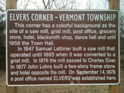
Elvers Corner
Vermont Township
In 1847 Samuel Lattimer built a saw mill that operated until 1865 when it was converted to a grist mill. In 1876 the mill passed to Charles Elver. In 1877 John Lohrs build a two-story frame store and hotel opposite the mill. On September 14, 1878 a post office named Elvers was established here.
Topics and series. This historical marker is listed in these topic lists: Industry & Commerce • Settlements & Settlers. In addition, it is included in the Postal Mail and Philately series list. A significant historical month for this entry is September 1847.
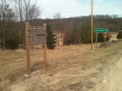
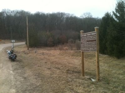
Location. 43° 4.19′ N, 89° 47.84′ W. Marker is near Blue Mounds, Wisconsin, in Dane County. Marker is at the intersection of County Highway J and County Highway JJ, on the right when traveling north on County Highway J. Touch for map. Marker is in this post office area: Blue Mounds WI 53517, United States of America. Touch for directions.
Other nearby markers. At least 8 other markers are within 6 miles of this marker, measured as the crow flies. Peculiar Corners (approx. 2.8 miles away); Brigham Park (approx. 3.1 miles away); a different marker also named Brigham Park (approx. 3.1 miles away); Vermont Creek (approx. 3˝ miles away); Army Cargo Plane Crash (approx. 3.9 miles away); Blue Mounds Fort (approx. 4.1 miles away); Site of Blue Mounds Fort (approx. 4.7 miles away); Old Town (approx. 5.3 miles away). Touch for a list and map of all markers in Blue Mounds.
Credits. This page was last revised on June 16, 2016. It was originally submitted on May 22, 2012, by William J. Toman of Green Lake, Wisconsin. This page has been viewed 1,045 times since then and 42 times this year. Photos: 1, 2, 3. submitted on May 22, 2012, by William J. Toman of Green Lake, Wisconsin.


